First thing on the agenda this morning was to have a puncture repaired on the right front tyre of the Highlander. It has had a slow leak for some time and the cause was finally traced to a screw that appears to have been there for quite some time. About 15 minutes and $15 later, we were on the road again.
We decided to try to hike to the crash site of Korean Airlines flight 801 which occurred 6 August 1997 on Nimitz Hill not far from TWR’s AM station. Although not allowed help with the rescue, TWR personnel did help with supplying food, drink and other ‘encouragement’ to the rescuers.
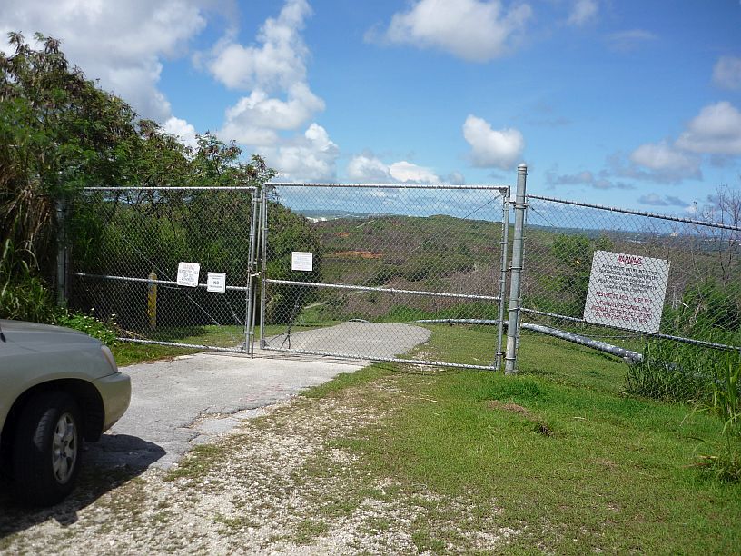
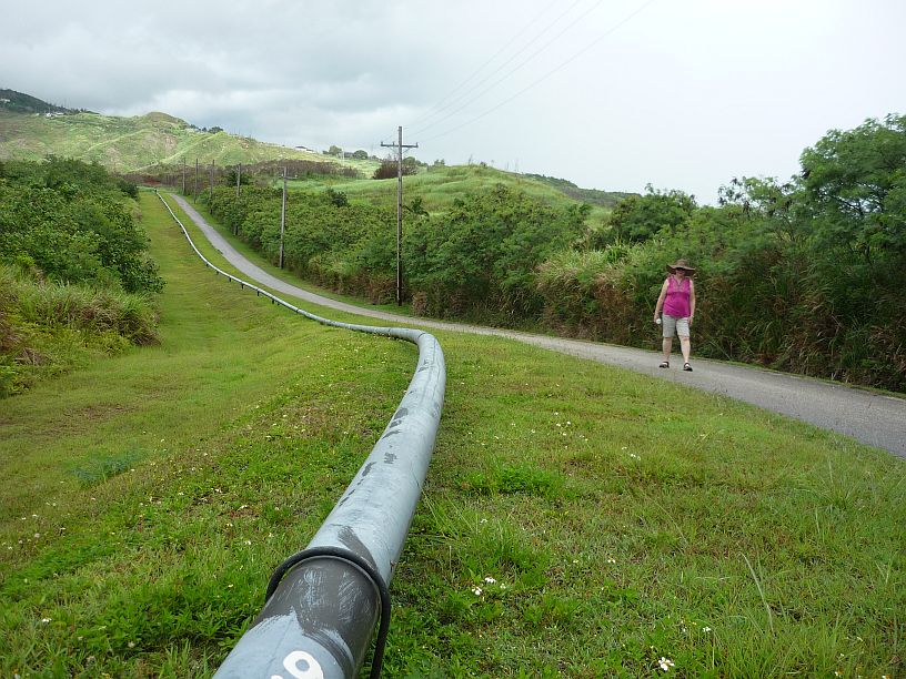
The easy way to the crash site is by car on this road — note the pipe line on the right side of the road. Since the site is on federal property, this gate is opened only on the anniversary date (6 August) each year for relatives to visit the crash site.
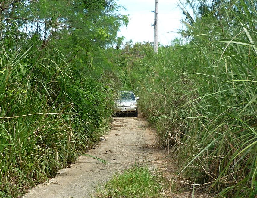
We were told that we were allowed to hike to the site. There is narrow vehicle path about 1/4 mile NW of the locked gate that allows access to a power line right-of-way.
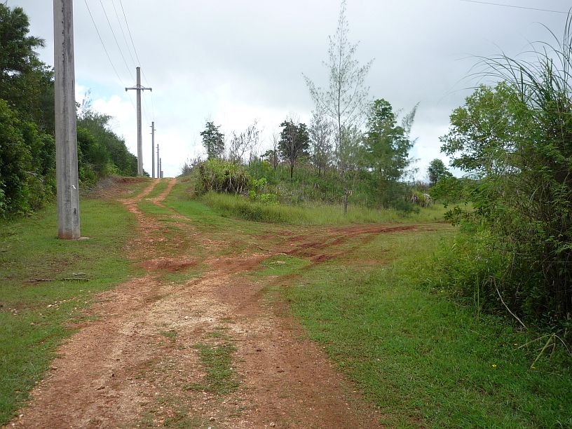
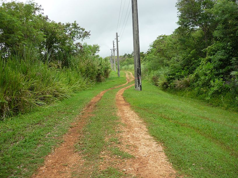
After traveling north-west for a little over 1/10 mile we took the track to the right that follows another power line with wooden poles.
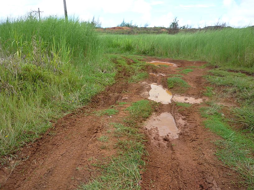
Immediately after the right turn, we encountered this mud hole and decided to walk from here. Obviously, some other vehicle, probably 4-wheel drive, had gone through. We did not want to get stuck, nor have to wash a very muddy car! Also, we did not want to find out the consequences of being found in a restricted area with a vehicle. We knew that hiking in was allowed.
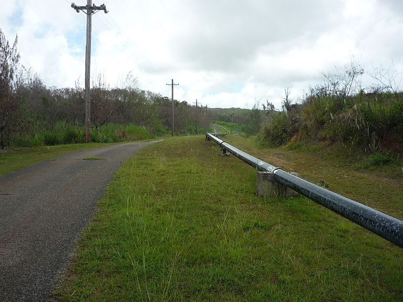
In about 1/4 mile, the power line turns to the left going along the side of the pipeline road. If instead, you followed the pipeline road to the right, you would come to the locked gate.
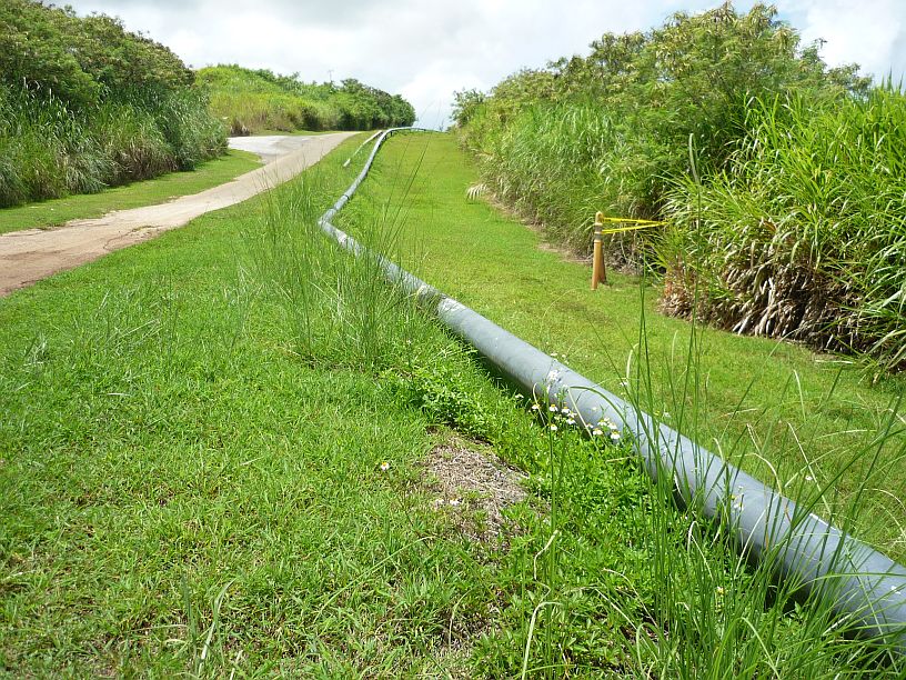
The turnoff to the crash memorial and site is unmarked, but obvious. The crash resulted in this pipeline being damaged and it looks like this section might have been repaired at this location.
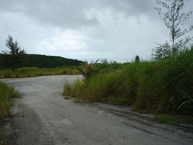
The 100 yard long road to the memorial is starting become overgrown, but the black obelisk can be seen to the right,
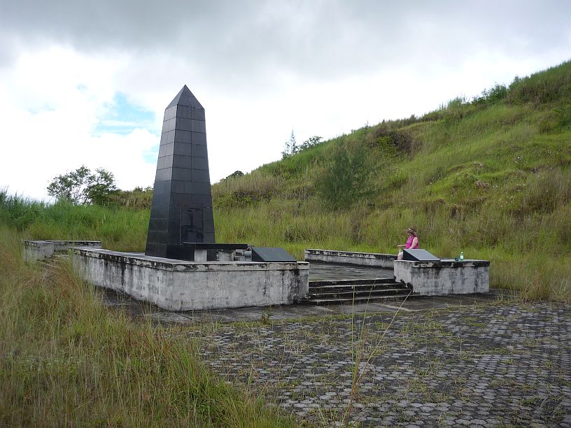
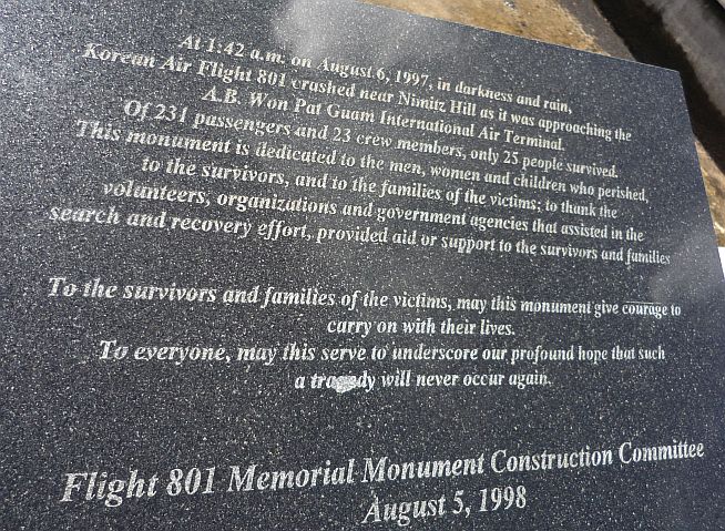
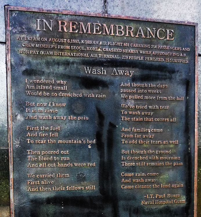
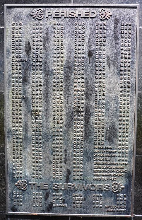
The Korean Airlines 801 memorial — hopefully, it will be tidied up before August 6 for the anniversary visitors.
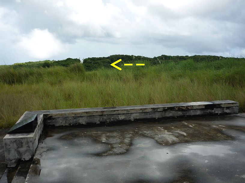
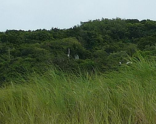
Before leaving the memorial, we noticed that we could see the entrance to the Japanese command center, from which we had seen the top of the memorial last week.
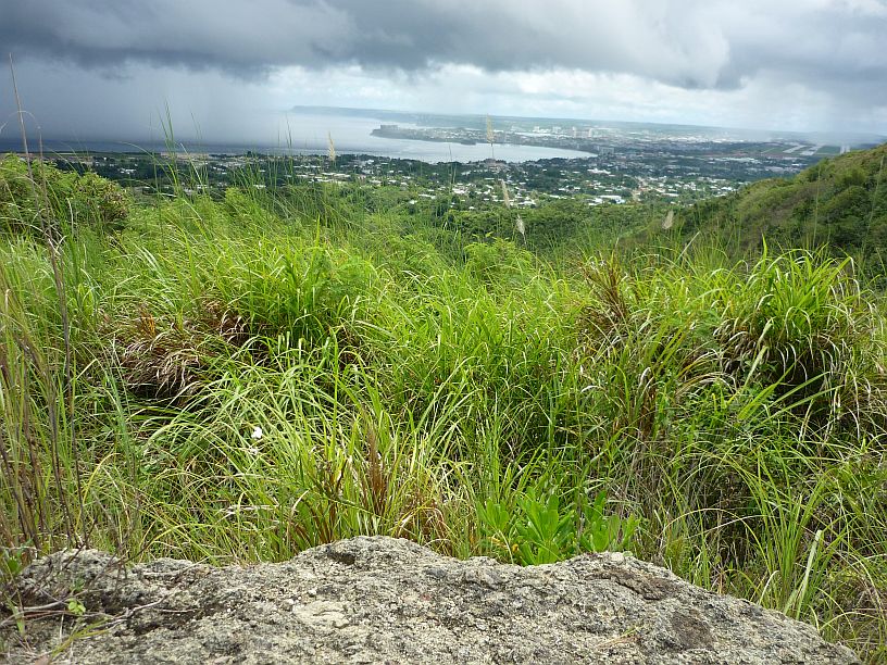
From the crash site, we walked about 100 yards to the top of the hill and about 100 feet higher in elevation. From there, we could see the airport (far right) and Agana Bay (left with rain showers) and the cities of Hagatna (nearest — formerly Agana) and Tamuning (to the left of the airport and onto the peninsula).
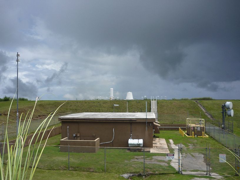
Also, on this same hill, is the VOR (VHF Omni-directional radio Range) site for the airport. This and the pipeline are probably the reasons that this is a restricted access area.
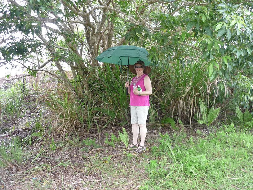
On the way back to our vehicle, the rain caught up with us! Fortunately, there was no lightning, otherwise we would not have sheltered under a tree or hold an umbrella! The light rain quickly changed to drizzle and we completed our first hike of the day. Virginia is holding our water supply for the hike. We found that plastic soda bottles are much stronger than the thin plastic used in the water bottles sold at the store.

