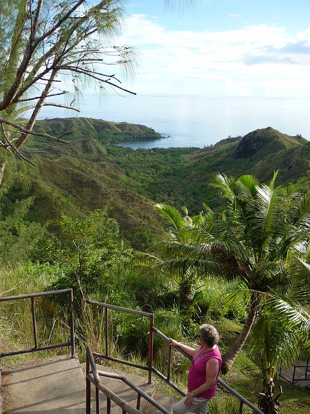
After the morning hike, we made a quick stop by Taco Bell for a bite to eat, then home. Both of us took a nap.
While we slept, there was quite a downpour and we were glad that we were not hiking in the middle of it!
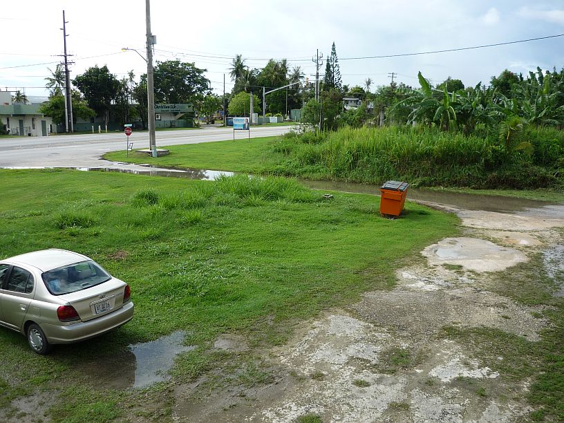
We can use our side street as a rain gauge. If it is completely covered, like this, we know there has been more than 1/2 inch of rain.
Below are photos of our late afternoon trek:
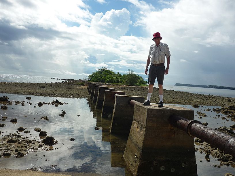
We started driving south of our apartment. Our first stop, after about 1/2 mile, was to investigate the pipeline near Agaan Point. Judging from the pipe joints, it used to be a waste-water line dumping outside the reef. Note — this is the first day that Larry has worn shorts in years. Can you tell??!!

About a mile further south, we stopped at Nimitz Beach Park. TWR plans to have its 4th of July picnic at one of the pavilions.
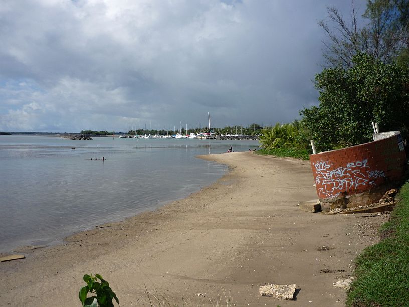
Looking north from Nimitz Beach Park at the Agat Marina. The shower on the beach (at right) has been effected by erosion.
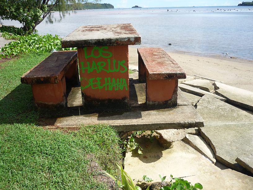
More signs of erosion at Nimitz Beach Park. Which side of this picnic table would you want to sit on?
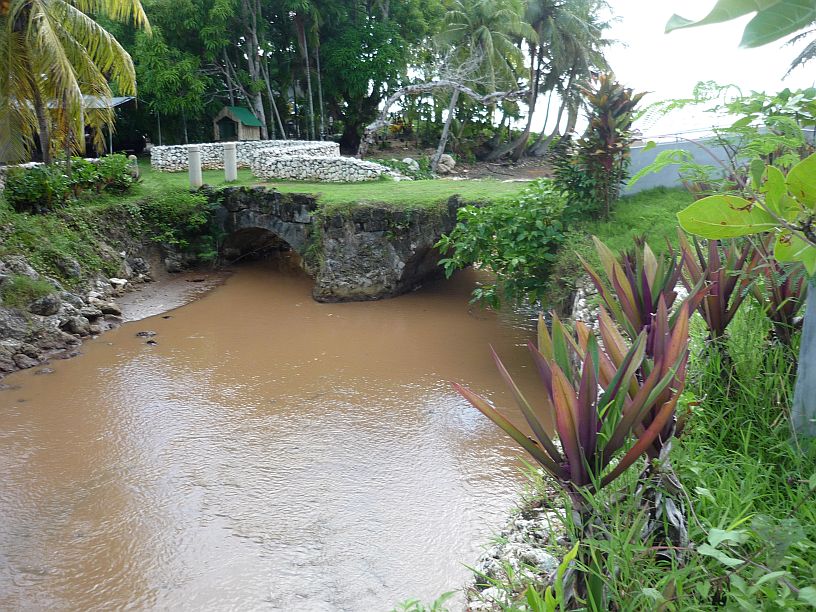
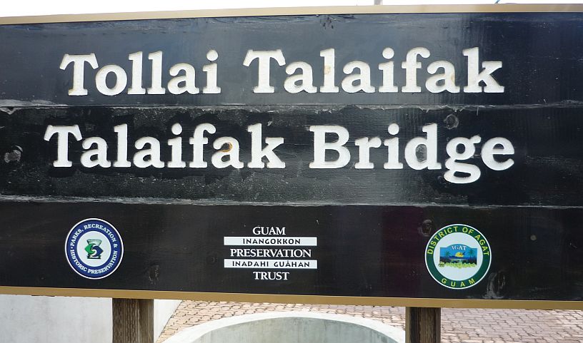
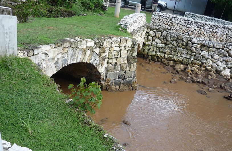
Talaifak Bridge is about 1/10 mile south of Nimitz Beach Park. This waterway’s outlet into the Philippine Sea is less than 100 yards on the other side of the bridge.
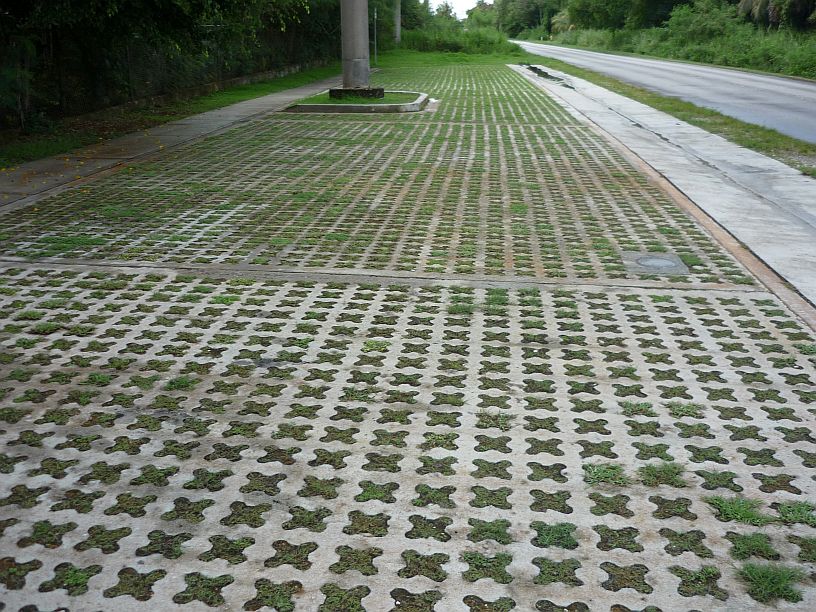
The parking area at Talaifak Bridge was unique The open pattern in the concrete surface allows most of the rain water to seep into the soil thus lessening drainage problems.
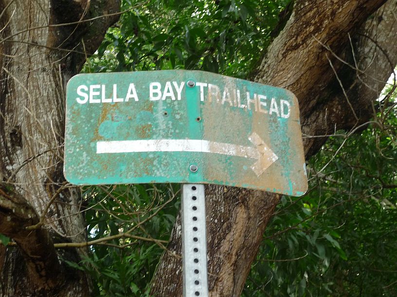
Our next stop, Sella Bay Trailhead, is about 5 miles south of our apartment. The condition of the sign should have been a forewarning of what was ahead!
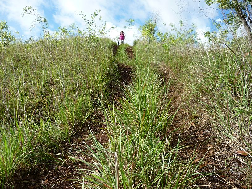
Most of the trail was a very old 4-wheel drive track. Since it had just rained a couple hours earlier, the tracks were slippery mud and the grass was too high to walk in. Steep slopes like this one were especially tricky to transverse.
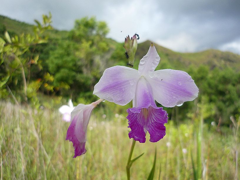
We saw thousands of these wildflowers on this hike and the one this morning. Are they wild orchids? We’ve heard them called this, but cannot find a scientific source to verify it.
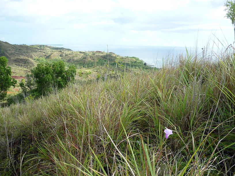
After about 45 minutes of hiking we could see Sella Bay in the distance, just above the wild orchid in the photo. It was at this point that we decided to turn back as there would be no way to make it down and back before sundown.
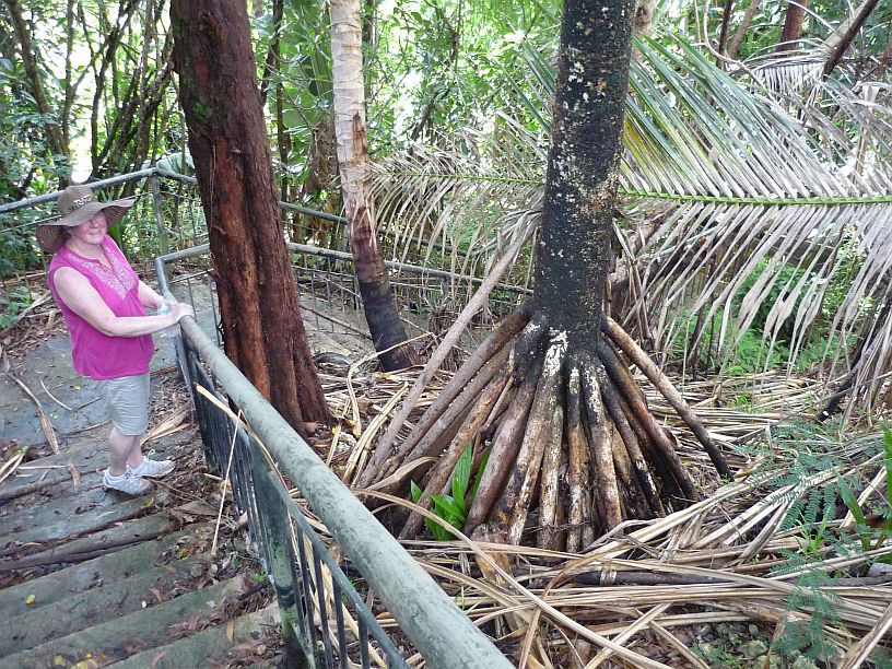
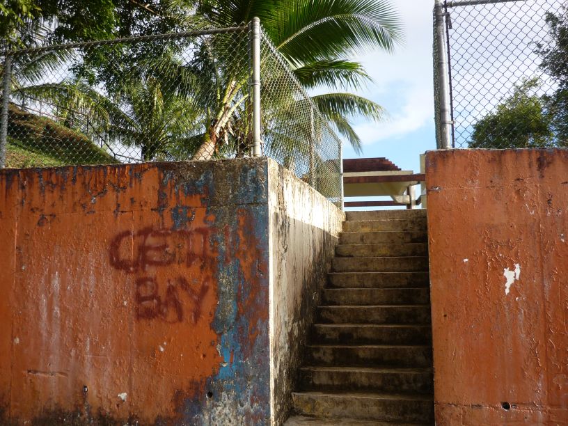
At the Sella Bay Trailhead, there were some steps up to an overlook. We had not gone to the overlook earlier because a wedding party was there. The ‘tree’ with the unusual roots is a pandanus palm.
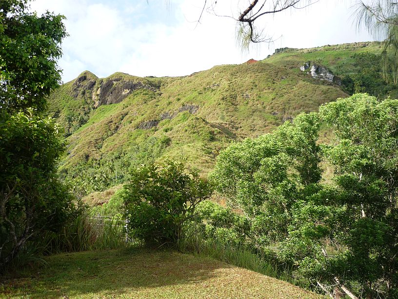
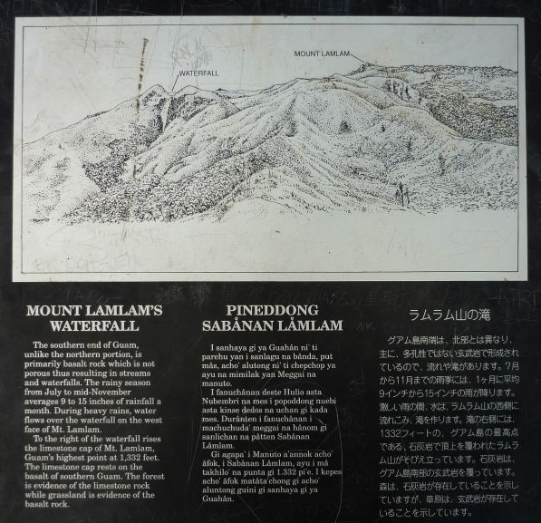
From the overlook it is possible to see the highest peak in Guam — Mount Lamlam at 1,332 feet. It is the peak on the right. Between the twin peaks on the left is a rock face which which turns into a waterfall after heavy rains. So far, we haven’t seen the waterfall.
About a mile further south is the Cetti Bay overlook with a rather ‘plain’ entrance from the road.
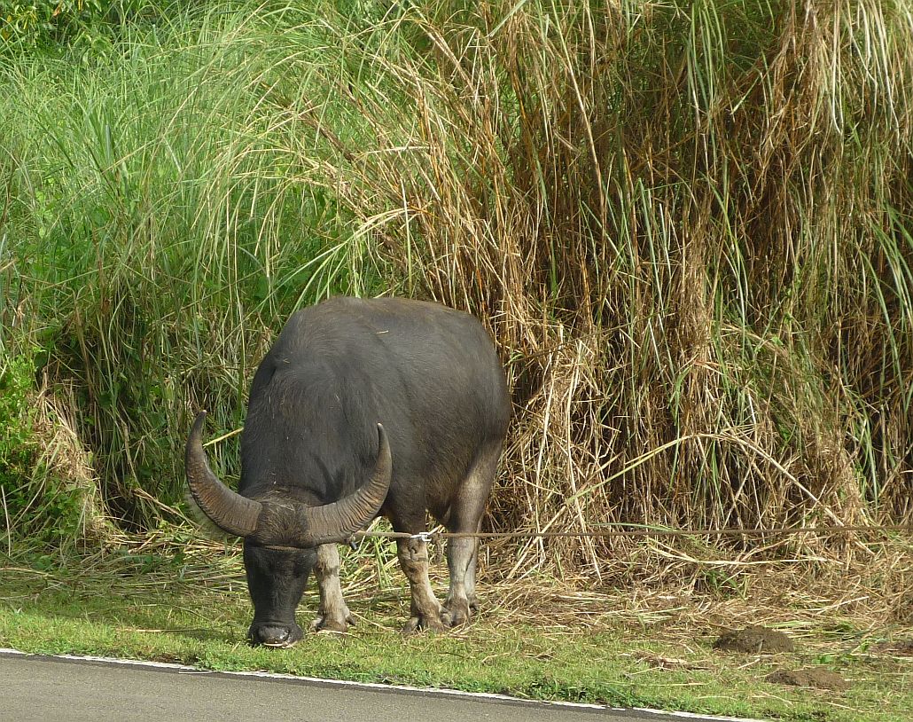
On the road home we encountered this large carabao (pronounced ‘care’ a ‘bow’ [like ‘bow down’]). Fortunately, it was tied up, as are most carabao grazing by the road. They are huge and if hit by a car, which occurs most often at night, the car suffers by far the most damage!

Our last stop was at the ‘MacDonalds in a container’ at Agat that we mentioned in a previous blog. We ordered from their three item $1 menu, not their special Guam high calorie Spam breakfast menu!

