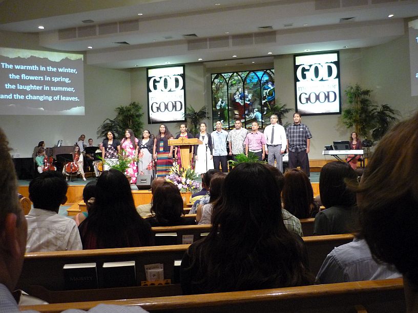
At the beginning of the church service this morning, we were blessed by the singing of this Chamorro choir.
After church, we decided to visit some points of interest toward the north of Guam, starting at the north-most point. Here are some photos of our days adventure:
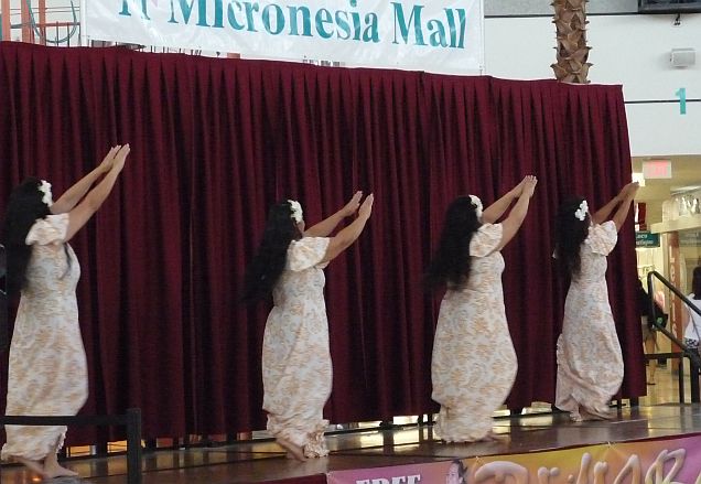
Our first stop was the Micronesia Mall to get something for lunch. Dance demonstrations were taking place. These are some Chamorro dancers.
As we drove past the gate of Anderson Air Force Base on Route 1, it was beginning to rain. We saw a visitors center and decided that might be a place to wait out the storm and get some useful information. We walked in the door, saw several rows of chair, like is often found at the bureau of motor vehicles, and a clerk behind a desk. We quickly determined that this was not what we thought, but was the check-in desk for visitors to the base.
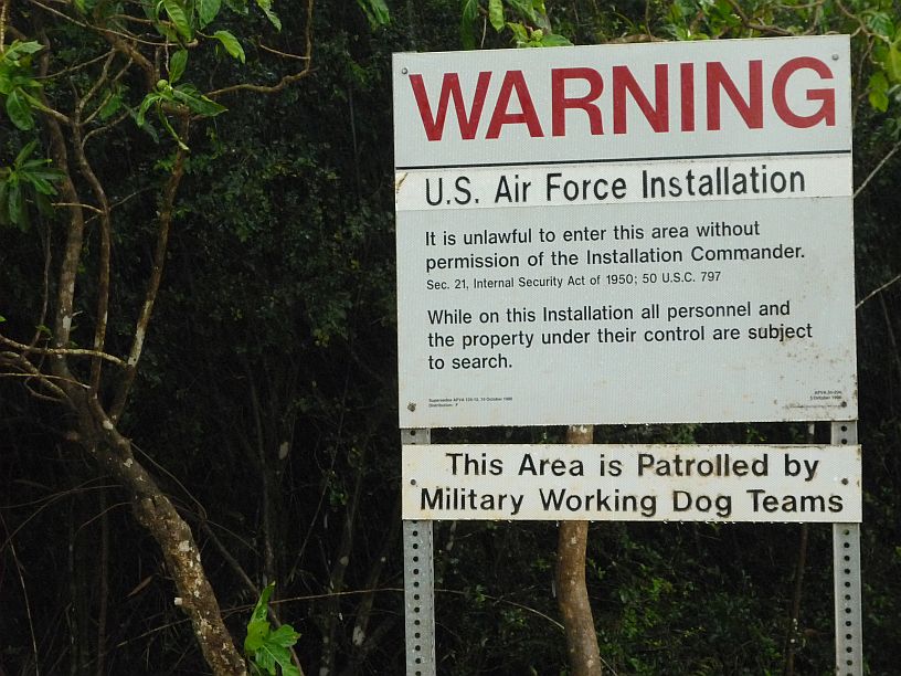
Most of the north end of Guam is Anderson Air Force Base. There is a narrow corridor (Route 3A) along the west coast that allows the public access to the north point of Ritidian and the Guam Nature Preserve. On the right is a high security fence around the base and on the left is extremely thick bush with these signs frequently spaced.
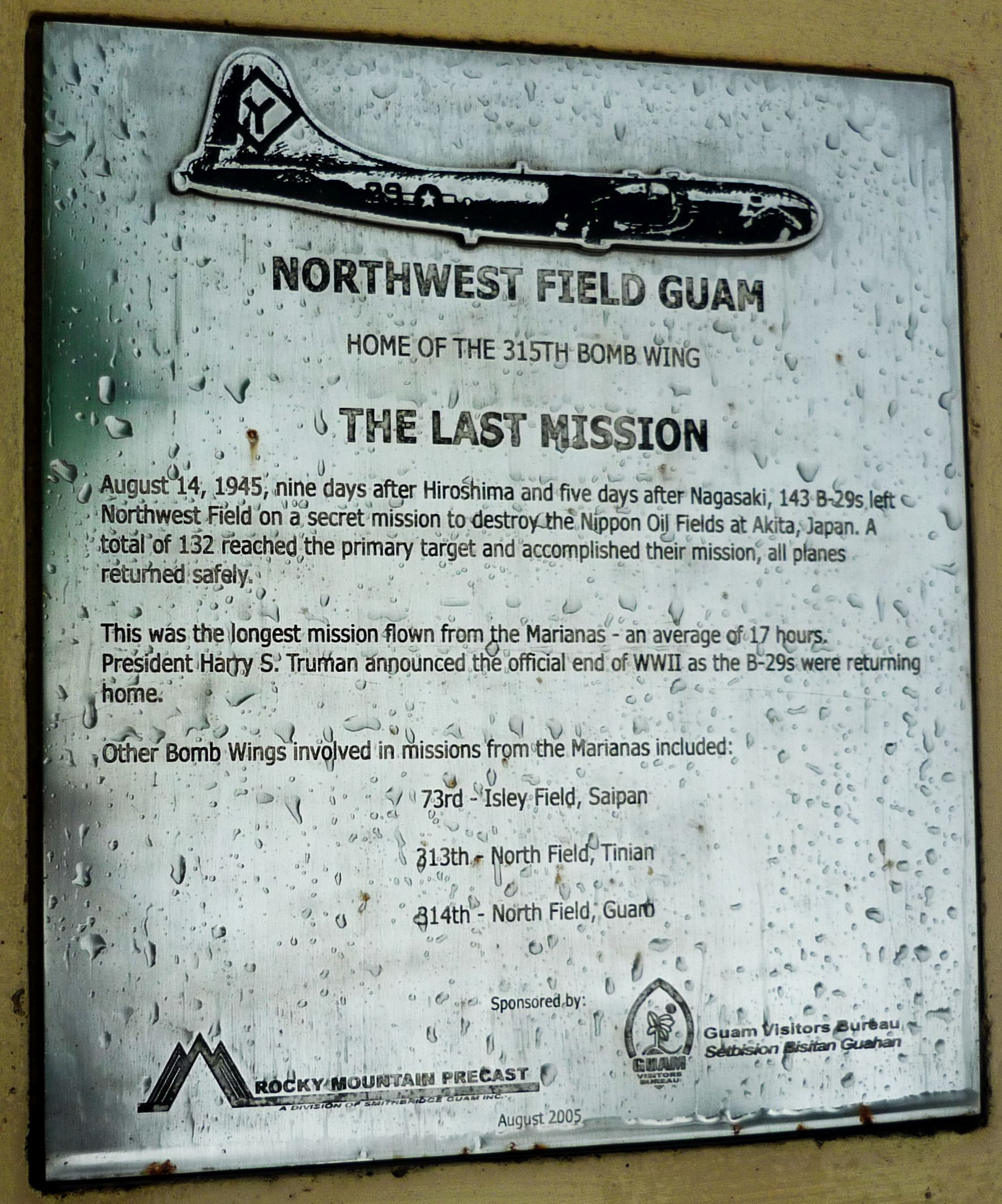
On the left of Route 3A about 1/10 mile past a sharp left turn, there is a small monument stone with this plague telling about the last Army Air Corps mission before the surrender of Japan. Can you imagine 143 bombers being sent out on one mission today??!! Does the US Air Force even have that many bombers located on one base anywhere today?
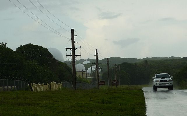
Looking back (south) from the monument, we saw all these radar domes and decided to take a photo. I saw this truck coming quickly from the base and thought maybe we weren’t supposed to take pictures. Instead the driver wanted to see if we were having car trouble, since I had turned on the hazard flashers while parked beside the road by the monument.
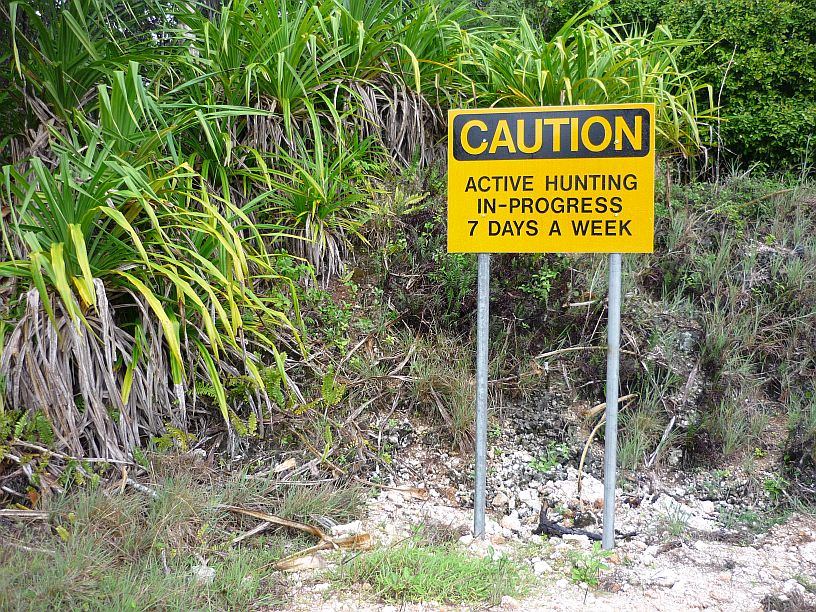
Continuing north on route 3A, the road deteriorated dramatically, with huge potholes, which slowed driving to a crawl in places. In addition to the US property signs, these signs began to appear on the left. The foliage is extremely dense in this location. Not sure what is being hunted, but suspect it is deer and/or feral pigs. We saw one of the latter run across the road when we drove up the mountain about 3 weeks ago.
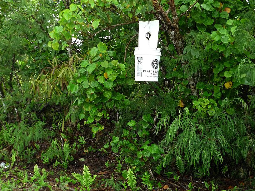
Also along this road were several of these coconut rhinoceros beetle traps. These beetles are devastating the coconut palms on Guam and these traps are for monitoring where they might be. Traps are strategically located all over the island.
We got to the gate for the nature refuge and Ritidian point only to find it closed to entering traffic. The park closes at 4 pm and apparently the entry gate closes about 3 pm. Guess we’ll have to return at another time.
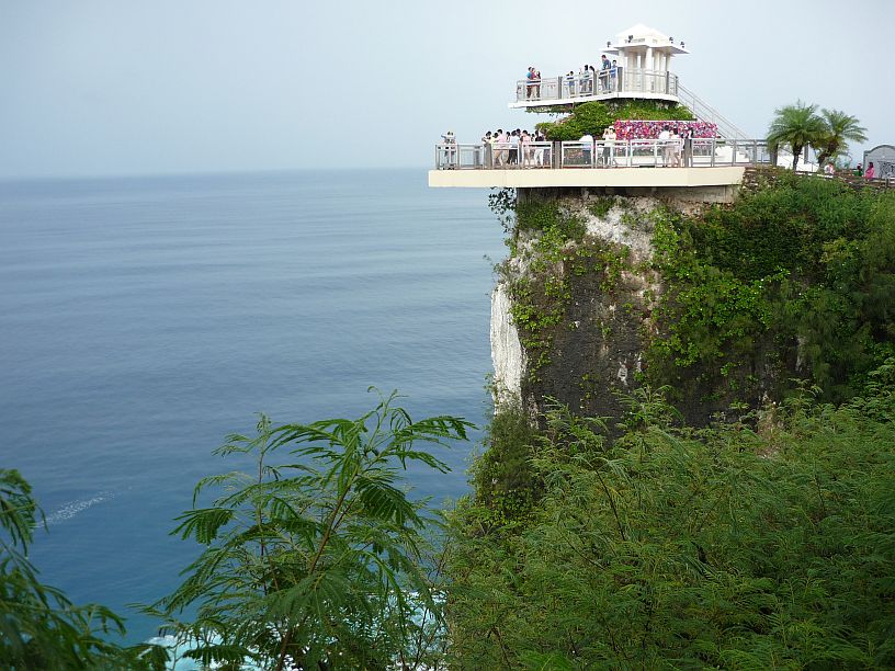
Since we were in the area, we stopped by Two Lovers Point, a place that Virginia and Joanna visited a couple weeks ago. Just missed getting a photo of a Japanese couple getting married.

From Two Lovers Point looking across Tumon Bay at the city of Tamuning. The big waves resulting from tropical storm Neoguri are causing an unusual amount of haze.
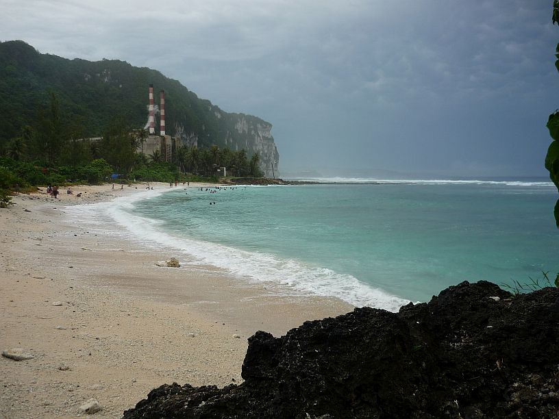
Just north of Two Lovers Point (the cliff seen here) is a secluded, and rather difficult to find, beach. We saw only Chamorros (Guam natives) on Tanguisson Beach.
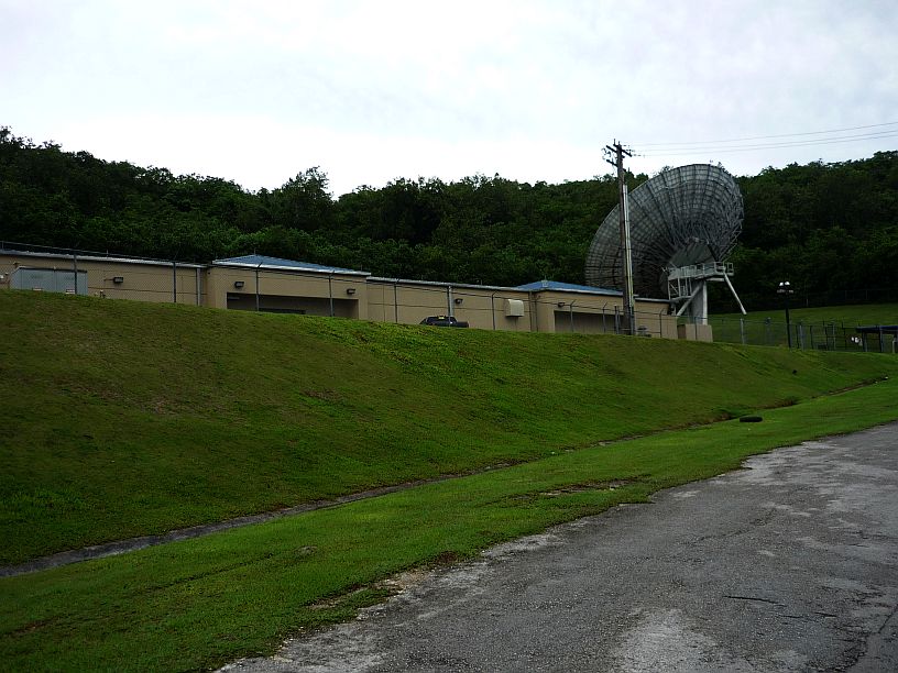
On left of the road climbing up from Tanguisson Beach is this well concealed large satellite dish antenna. We have subsequently learned that it is the Tanguisson Cable Landing Station, where many trans-Pacific communication cables are connected. (http://wikimapia.org/29192587/Tanguisson-Undersea-Cable-Landing-Station)
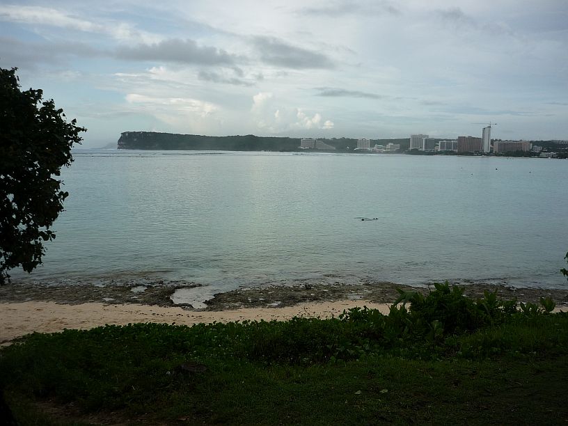
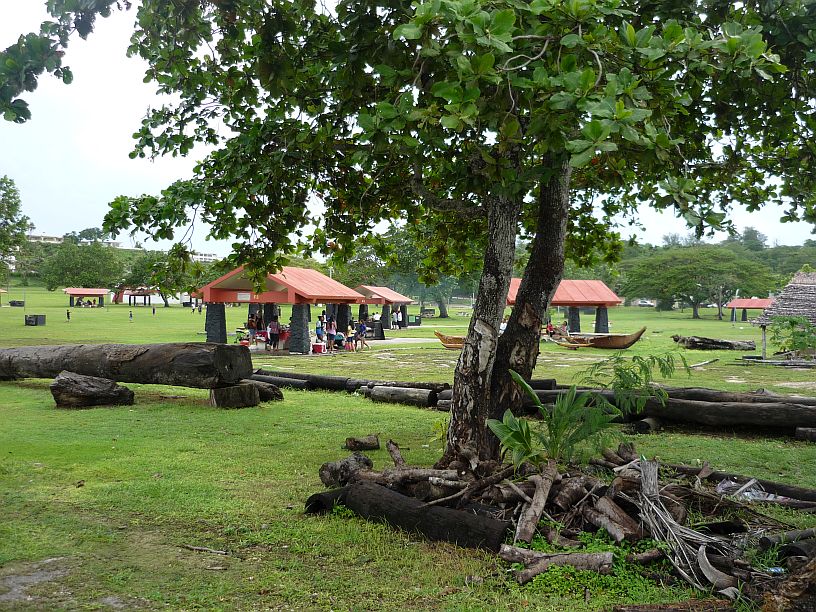
Our next stop was Ypao (pronounced E pow) Beach on the south side of Tumon Bay. It is just west of the tourist hotel section of Guam.

Looking east from Ypao Beach towards some of the hotels. There are a lot of Japanese tourists on Guam. The flight from Japan takes less than 4 hours.
There are a lot of pavilions at Ypao and they were all busy because of the holiday weekend.
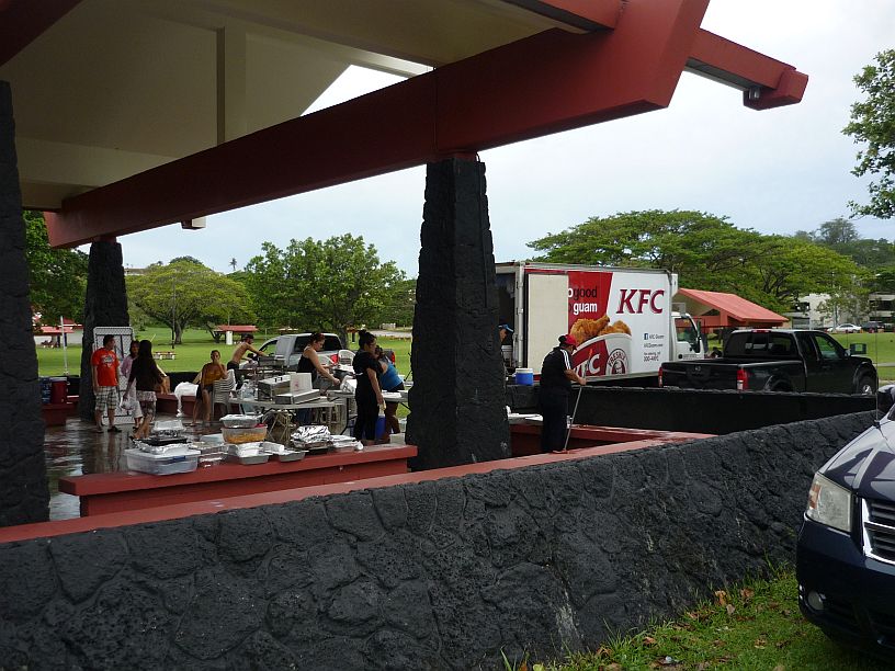
This extra large pavilion must have been the site of a huge gathering. Only about a fourth of the pavilion is seen in this photo. The caterer (KFC) is in the process of cleaning up as it is quite late in the afternoon.

![The dancing got lively when the Tahitian Dancers took the stage! [Virginia too this photo]](https://mcguirereport.mcguireclan.org/wp-content/uploads/2014/07/140706-TahitiDancers.jpg)
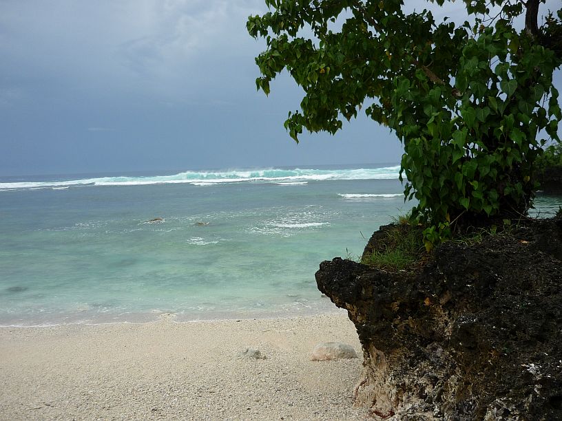


beautiful