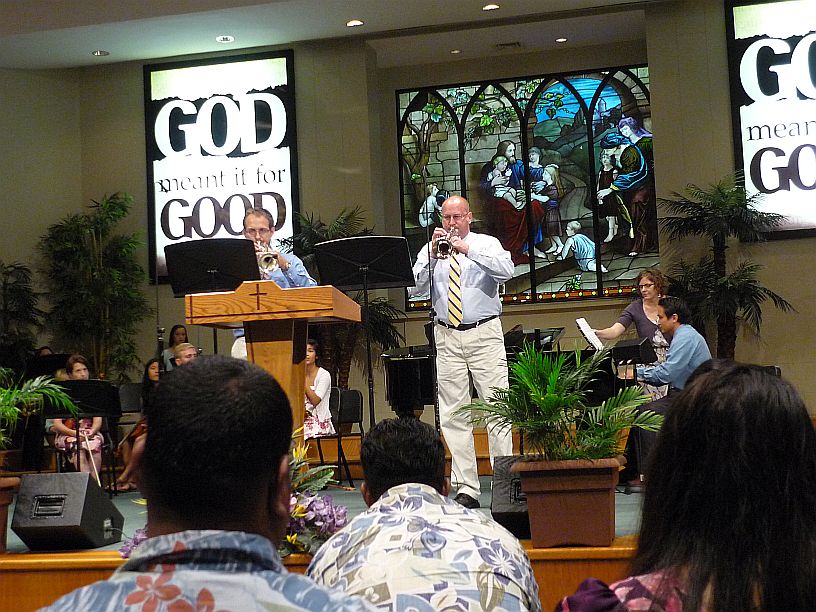
Tomorrow is the 70th anniversary of Liberation Day, the day that American forces returned to Guam to liberate the island. There are commemorations going on everywhere on Guam and the service at Harvest Baptist Church was no exception. The service opened with a video of the American forces coming ashore on the western beaches. One could feel the emotion of gratitude for the freedom resulting from that sacrifice, which was being displayed on the screen. The people of Guam consider themselves American and are U.S. citizens. One of Guam’s mottoes is “Where America’s Day Begins.”
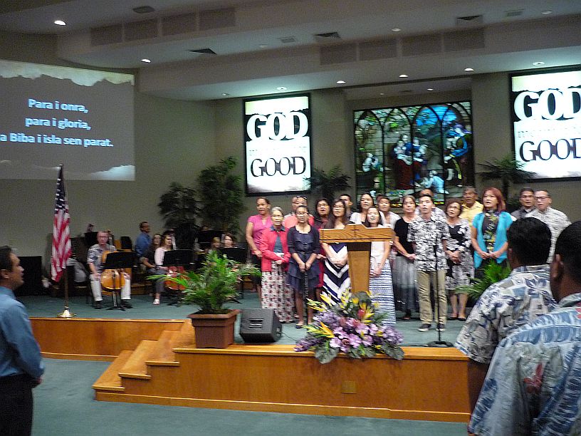
First this Chamorro adult choir led the congregation in the National Anthem, then sang Guam’s Hymn (their territorial anthem)
http://en.wikipedia.org/wiki/Stand_Ye_Guamanians

Then the Harvest youth choir (mostly Chamorro) sang about freedom, especially their freedom in Christ.
Trumpet Duet
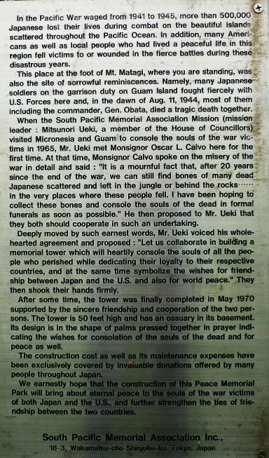
After church, I wanted Virginia to show me what she had seen at the South Pacific War Memorial. She had gone there a few weeks ago, with Kathy and Joanna. On the way, we stopped by Wendys.
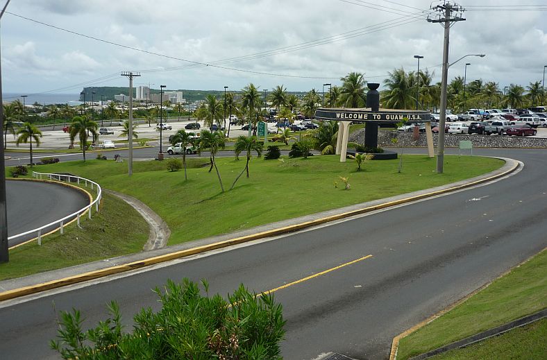
The shortest way from the church to the memorial was the road around the airport. We decided to take a photo of the welcome sign that is seen upon leaving at the airport. Two Lovers Point can be seen across Tumon Bay. I was questioned about what I was doing by an airport policewoman, just after taking this photo!

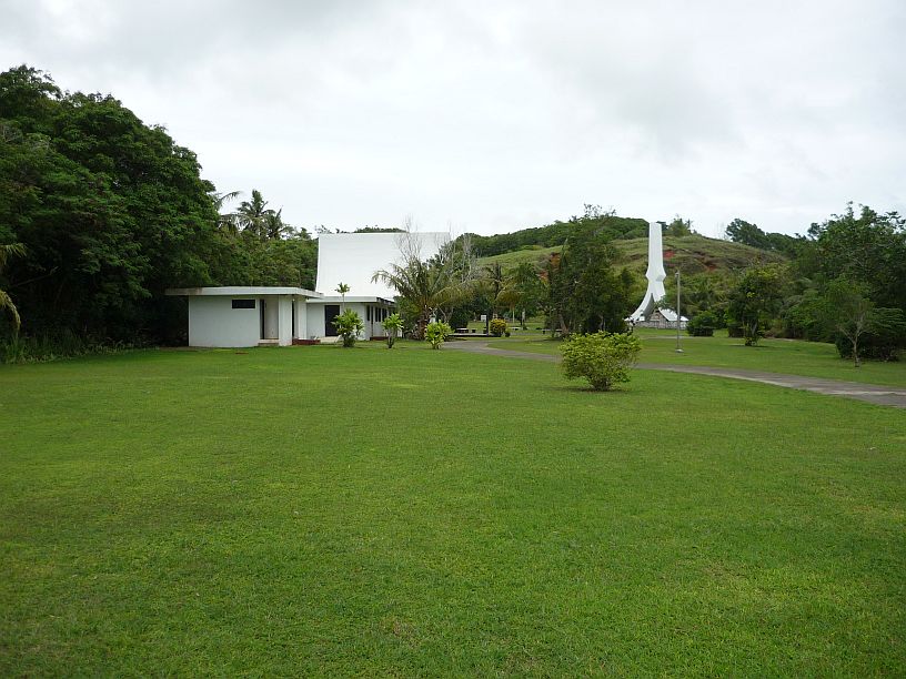
This is the building that housed the Japanese shrine (shown in our earlier blog). This building had some artifacts from the war, but there was little to no labeling of the items.
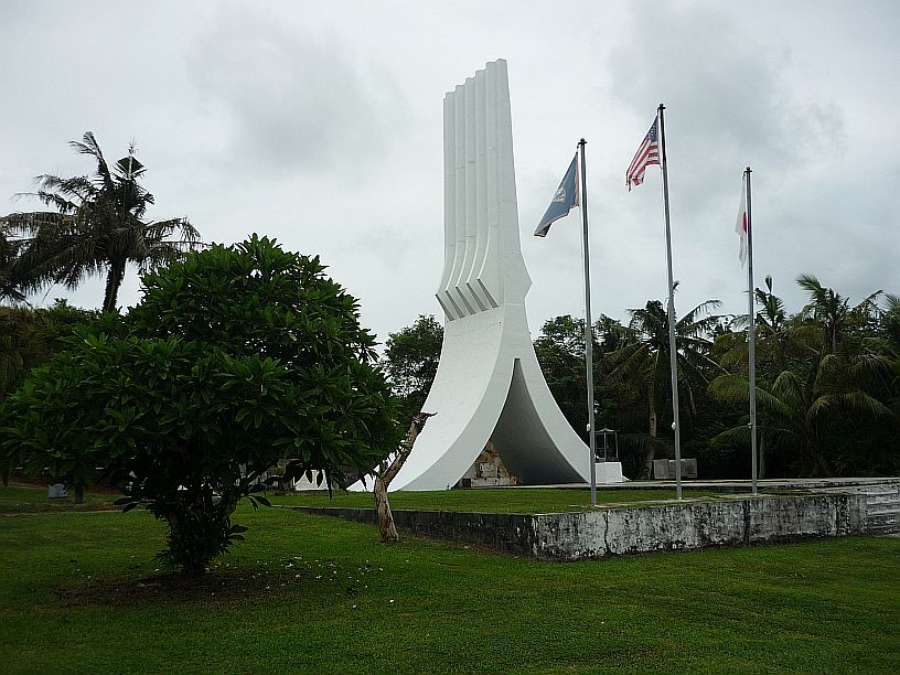
The memorial spire at the South Pacific War Memorial is supposed to represent praying hands. To the right of the memorial is the trail to the caves that were used by the Japanese as their command center in the last battle by American forces to liberate Guam.
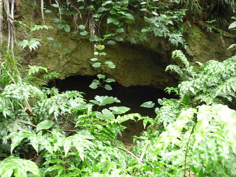
The first of five caves in this ravine. This opening would require crawling to enter. We think the next four were the ones used as the command center.

This is the second cave, where the Japanese commander apparently committed suicide. This entrance would require bending down to get into. There is a closer photo of this cave in our earlier blog entry.
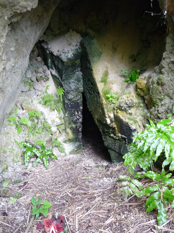
The fourth cave has partially collapsed, possibly as a result of the explosives used by the American forces to seal up the caves. It looks like it would be possible to just squeeze into this entrance by crawling on one’s belly.
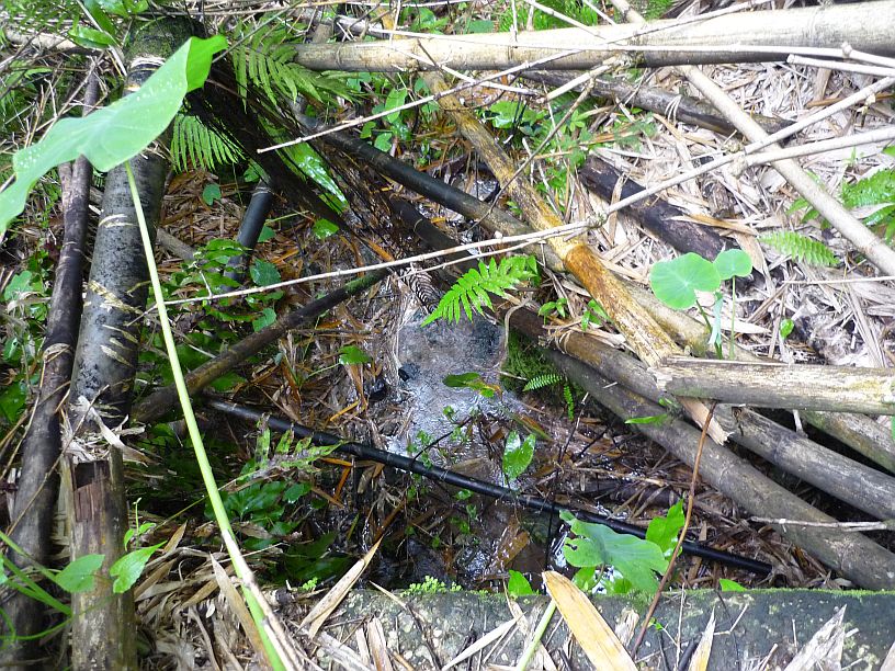
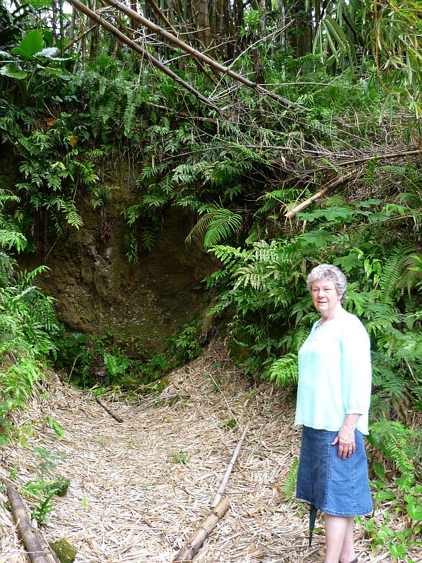
The spring is covered by lots of fallen bamboo, but if you look carefully, you might see a couple of water pipes.
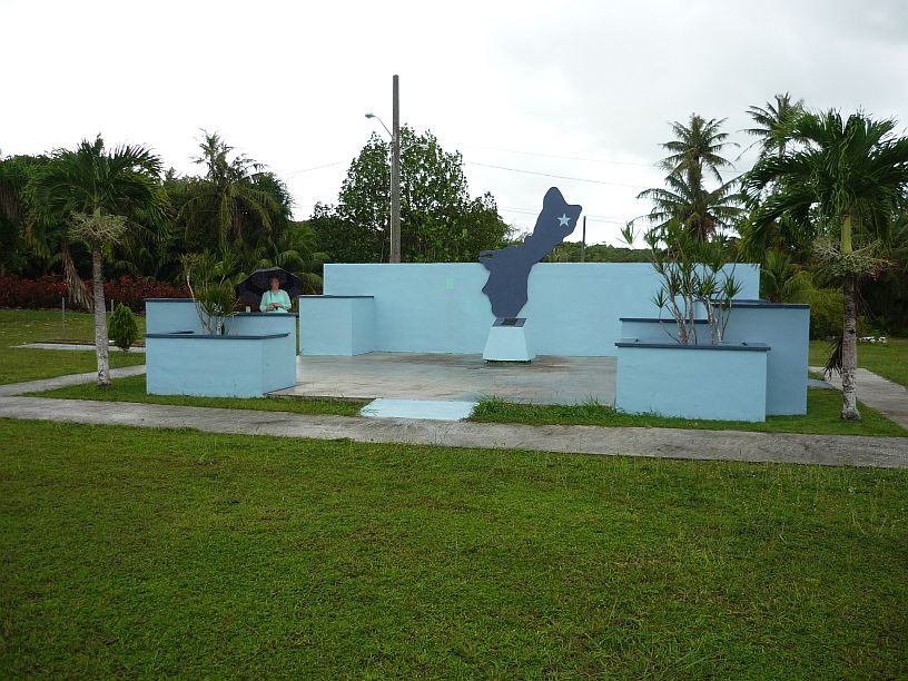
From the South Pacific War Memorial, we decided to again try to find the Yigo (pronounced gee-go) Monument. We found it near the back entrance to Anderson Air Force Base on Route 15. It is at the second road to the left going south from the AAFB gate.
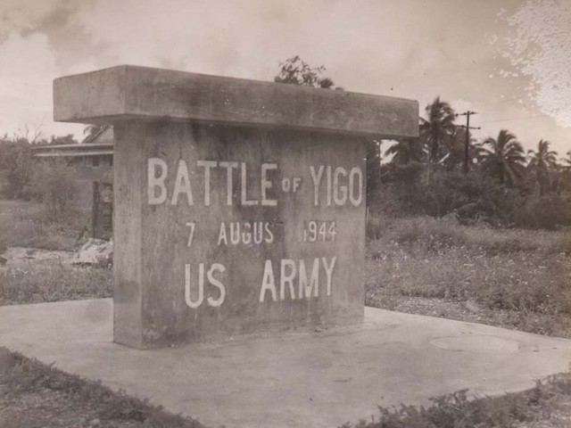
The reason we did not find the monument earlier was that we were looking for this. We presume that it no longer exists.
http://www.guampedia.com/yigo/
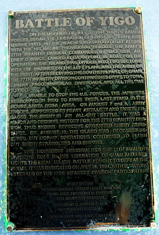 From Yigo we headed south on Route 15 as it was a new road for us to explore — very rural.
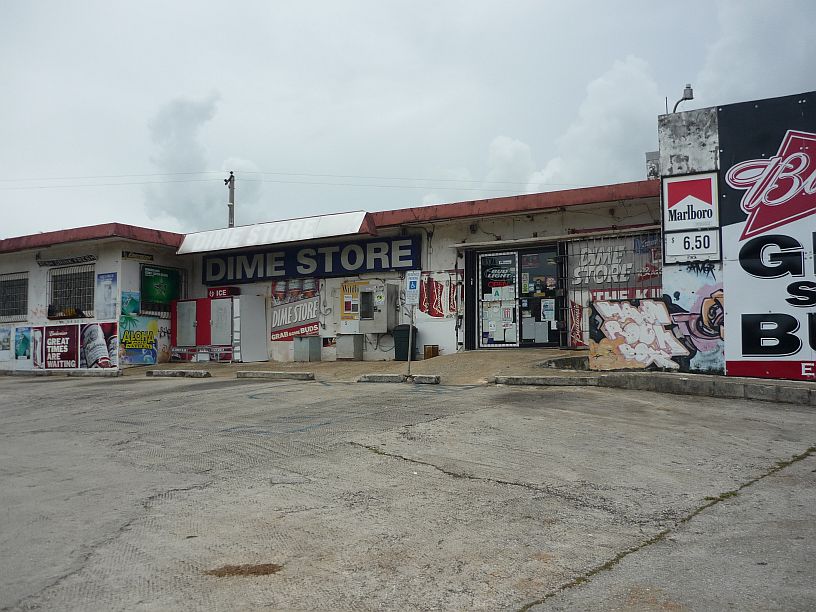
Near the end of Route 15 we parked at this Dime Store to read our map. This does not fit our perception of a ‘dime store’!
At the end of Route 15, we decided to double back to town on Routes 10 and 16. Virginia had one extra complimentary ticket to Underwater World. Since she had already been there, she went window shopping while I went to Underwater World. Here are photos of that adventure:
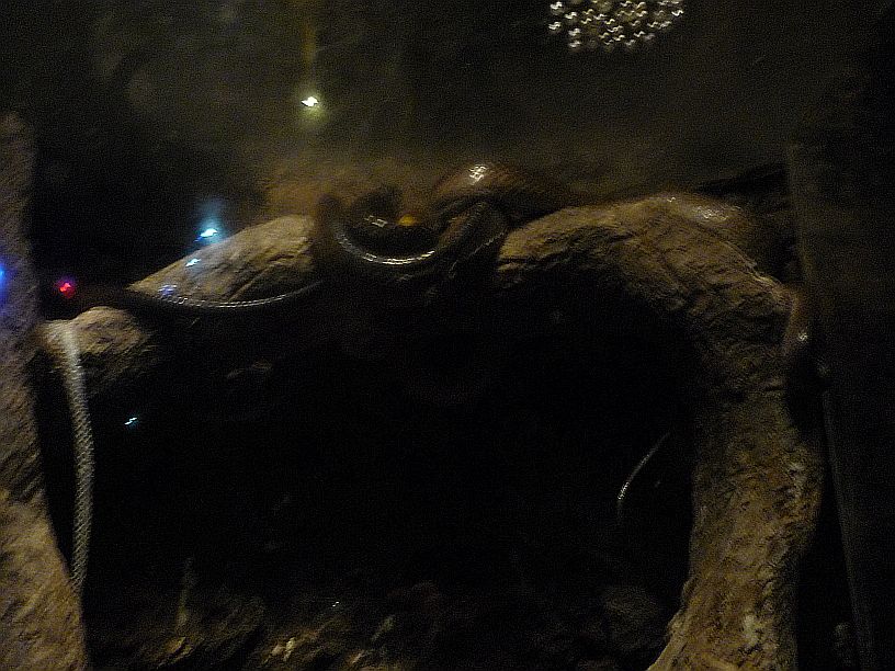
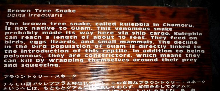
The first display on entering Underwater World was this brown tree snake! I don’t think it lives underwater!!
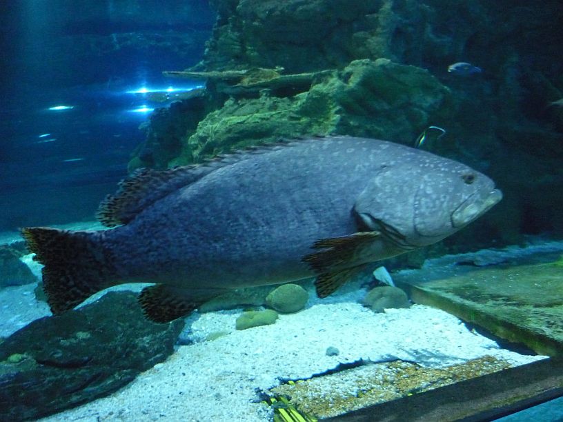
This Giant Grouper is about 4 feet long.
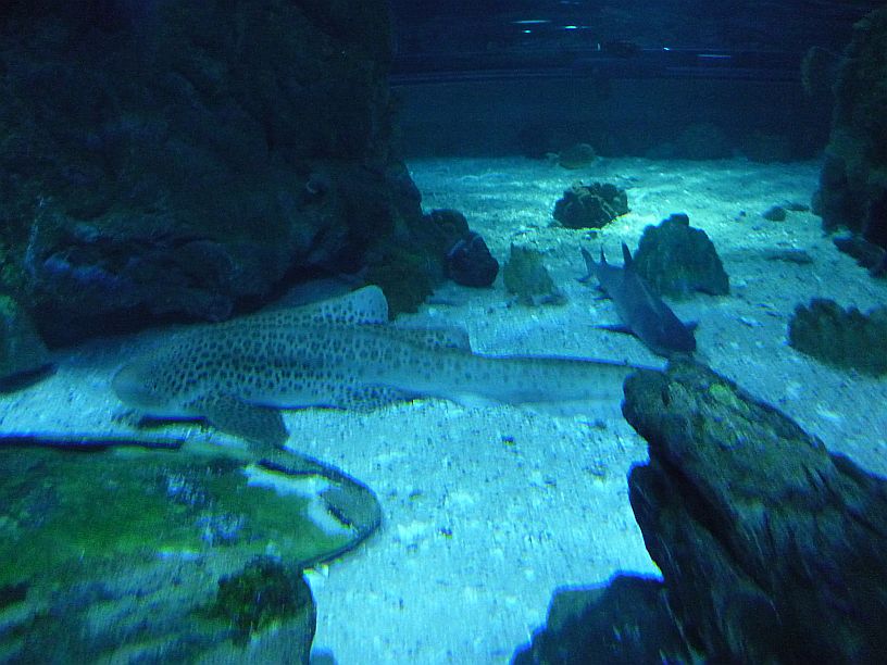
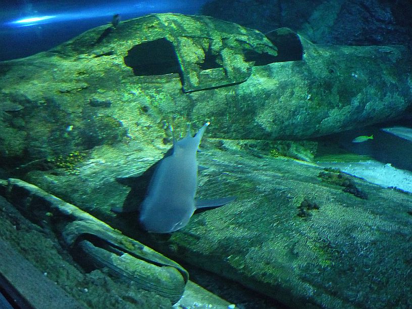
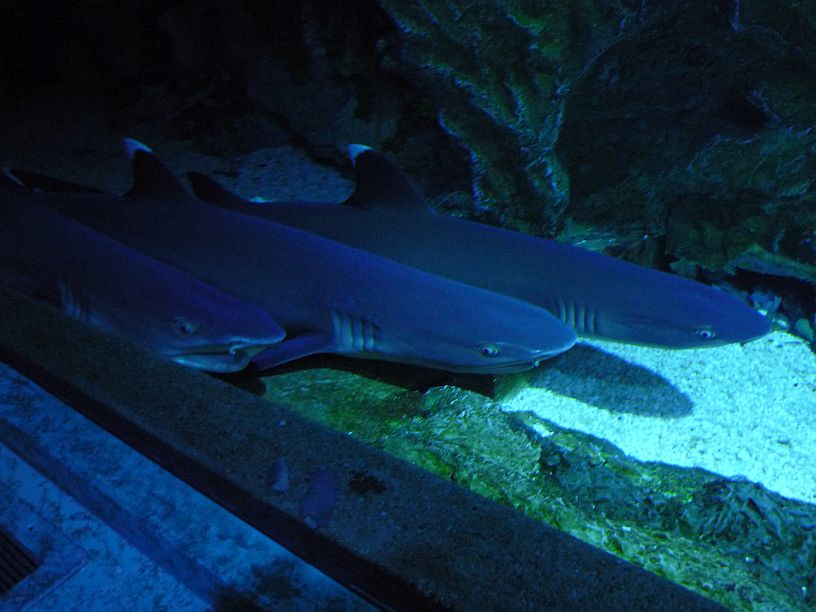
A leopard shark (or zebra shark, because juveniles are striped) does not need to continuously swim to breath, unlike other sharks.
After leaving the 319 foot long tunnel under 800,000 gallons of water, there are numerous smaller aquariums.
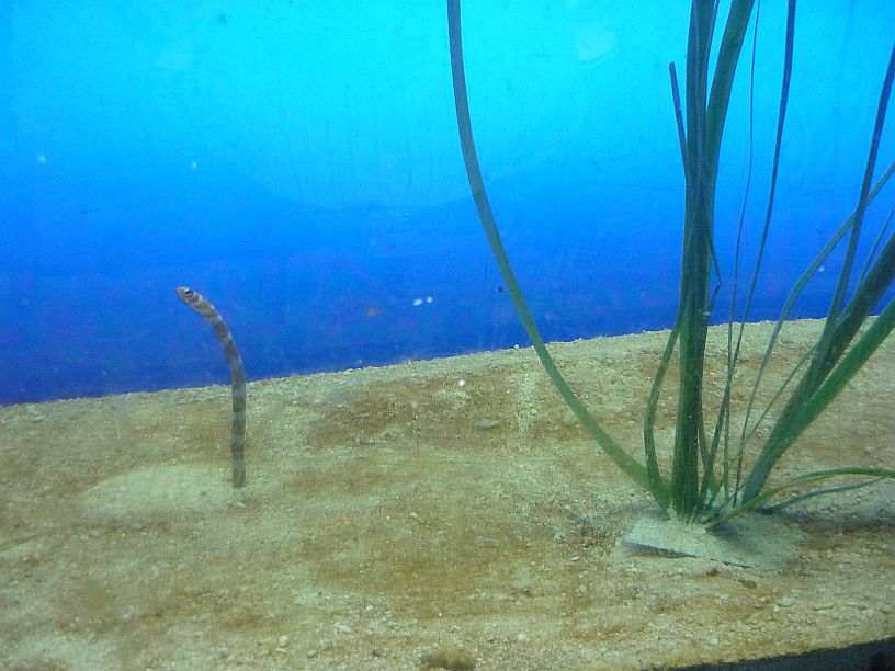
Splendid (or Orangebarred) Garden Eel — It imitates the grass and can retract into the sand when in danger.
http://en.wikipedia.org/wiki/Splendid_garden_eel
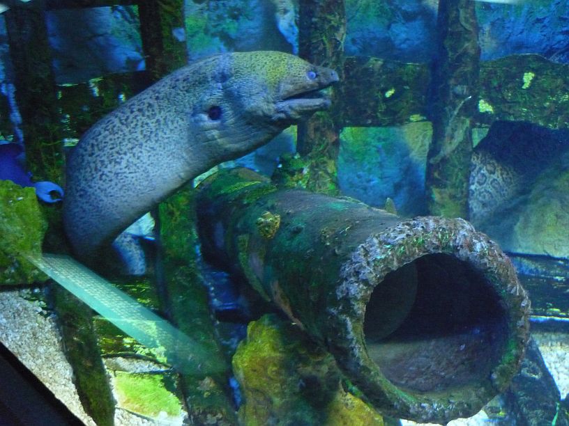
One of five Morey Eels — I recall a startling encounter with a morey eel while snorkeling near a Bonaire reef in 1967!
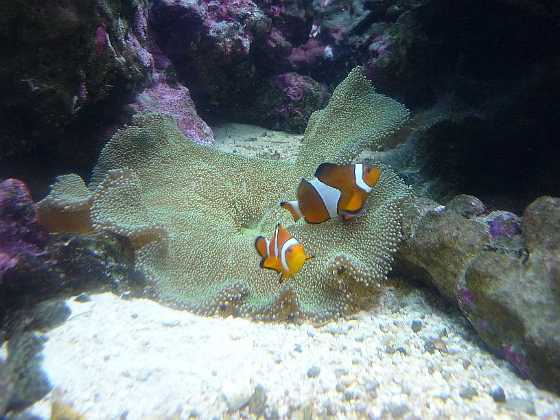
Clownfish or anemonefish — today’s children from around the world know them by a universal name. A family, speaking Japanese, was at this tank and the children were exclaming, “Nemo, Nemo!!”
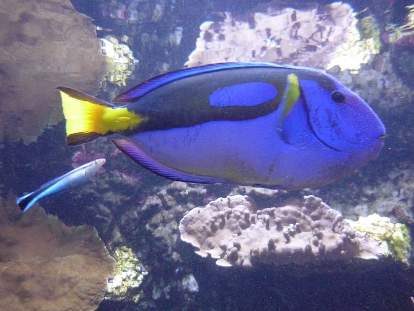
Not sure what this foot-long fish is — one website identified it as a Blue Marine Parrotfish, but I am fairly sure this is wrong!
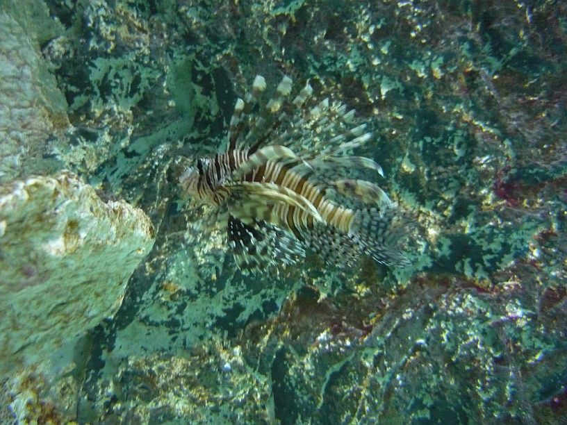
Lionfish — poisonous and now an invasive species to the Caribbean, Gulf of Mexico and East Coast of the U.S.
From Underwater World, we returned to out apartment via the west side of Guam (Rt 4) and the Cross Island Road (Rt 17).

Pago Bay is quite picturesque — unfortunately it is difficult to get a picture to do it justice because of new apartment buildings obstructing the view.
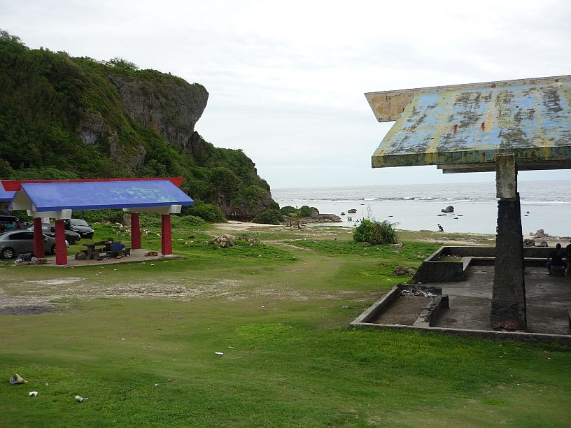
We found beautiful and secluded Taga’chang Beach Park just south of Pago Bay and west of Yona village.






I like the Lionfish. Iove you and miss you love Adrian