
TWR Guam plans to install a large solar panel array to help reduce electricity costs for their station. Electricity costs on Guam are well over double those typical on the U.S. mainland. This makes solar panels even more cost effective than in the U.S.
This morning after devotions, I helped Mike lay out the location for the solar panel array that will be arriving later this month. A smart phone with a compass app was used to obtain the south facing orientation.
Later someone else, as a double check, used their smart phone, which seemed to indicate that the orientation was not correct. This resulted in considerable discussion of which phone was correct.
I decided to use the website, Google Maps, to determine the north-south axis and discovered that there was a telecommunications tower almost due north. By comparing the coordinates (latitude and longitude) of the tower to the coordinates of one side of the solar panel array, it was determined that the communication tower was only 2.5 degrees east of true north.
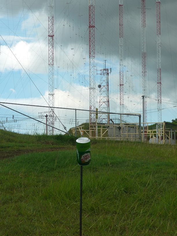
The north reference is the ‘shorter’ telecommunications tower in the far background.
I then found another reference point that was only 2 degrees west of true south.
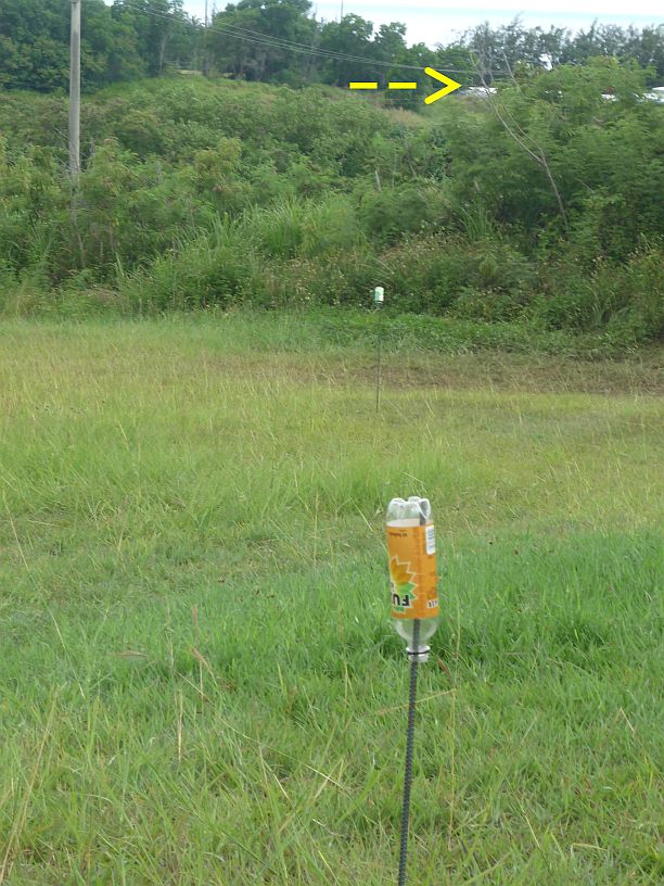
The south reference point is the end of this building which is about 1/2 mile away.
With this information, we made adjustments to the layout after lunch with confidence that the layout is now within 1/2 degree of the desired orientation.
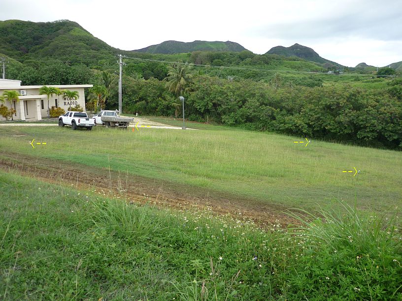
The proposed placement of a 30-kilowatt solar panel array is laid out in front of the transmitter building. Future expansion of the solar array can be made to the south and east..
After doing this layout, my pant legs were covered with grass seeds, so I decided to tour the antenna field now. If I would have waited for another day, I would have to remove these pesky ‘stick tight’ seeds a second time. [Actually, Virginia removed them before I got a chance — she said it took about an hour!] I was amazed at what I saw both from a technical and aesthetic viewpoint. The following photos show some of the amazing views (I will save the more technical ones for the engineers in Elkhart!):
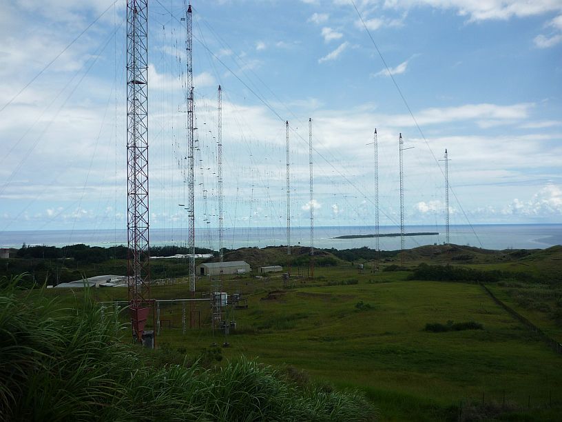
Looking south from the north edge of the property. The transmitter building is to the left. To the right of the transmitter building is the heavy equipment storage building which also houses the standby generators. The Cocos Resort Island can be seen offshore.
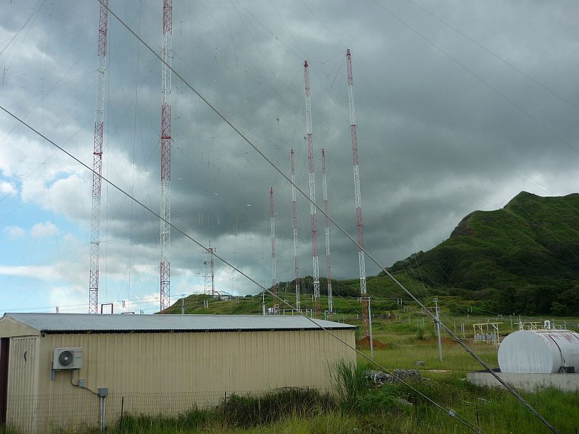
Looking north from the storage building. The building in the foreground is used for storing antenna parts and rigging. It was made out of the two 40-foot containers that were used to ship the two Thompson transmitters. The fuel tank for the standby generators is to the right.
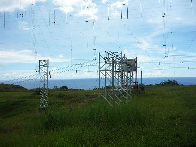
This photo gives the best view of the transmission path to China, India, Indonesia and all of South Asia. Nothing hinders the signal as it takes off over the Philippine Sea, especially when you consider that the radiating part of the antenna is over 100 feet above where this photo was taken!
Go, signal, Go!
Give hope, Lord, and peace!