After a late breakfast, we went to the Agat post office to mail a letter. It weighed over one ounce, so needed additional postage. We expected to pay an extra $0.21 for the extra ounce, but was told it would be an extra $0.49. We suspect that this small post office had only the regular $0.49 stamps to sell.
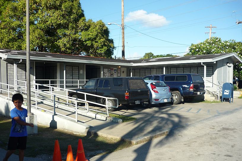
The Agat post office shares the same parking lot as the small Agat MacDonalds mentioned in a previous blog. To get service, you must ring the doorbell. The top half of the Dutch door in the corner opens for service and remains open for as short a time as possible to conserve the cooled air inside. The customer stays in the warm, humid outside air!
We then headed to Gaan Point — http://www.nps.gov/wapa/planyourvisit/gaan-point.htm — which is next to the post office to take a couple of photos while there was still some morning sun.

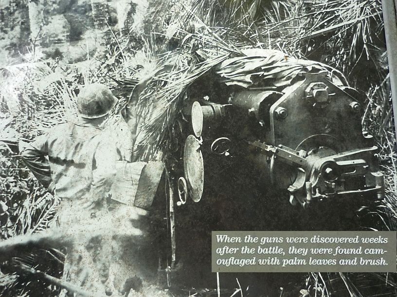
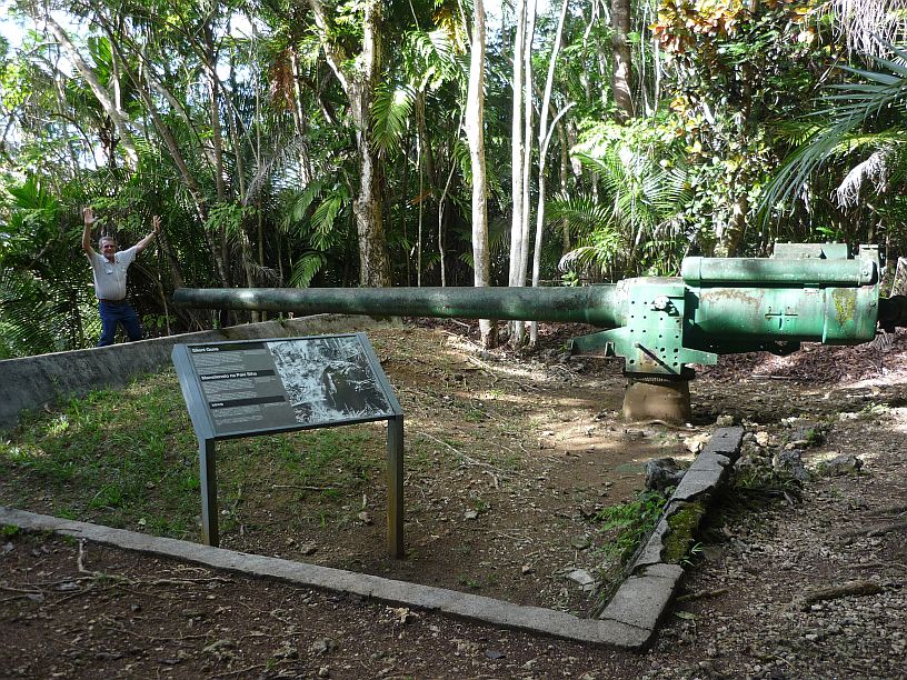
Ga’an Point in Agat, Guam. This is the 200mm Japanese coastal defense gun mentioned in the above website.
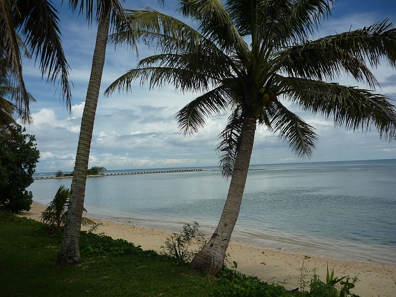
An old pipeline at Ga’an Point that can also be seen in the previous photo — there is a similar one at Asan Beach. The park ranger did not know its original purpose. I have not located any information anywhere, but speculate that it was either a fuel line to deliver fuel to and/or from ships, or possibly an old sewage line dumping just beyond the reef.
We decided to head back to the T. Snell Newman Visitor Center — http://www.nps.gov/wapa/t-stell-newman-visitor-center.htm – for a third time. This time we finally saw all the exhibits that we wanted to see. While there, one of the rangers did a one hour presentation about Asan Point and Beach and how they have changed over the years since the retaking of Guam from the Japanese in July 1944. In recent years, attempts are being made to restore much of the beachfront to what it looked like in 1944. Originally, there were rice paddies, but now there is green grass where the paddies were — see Asan Overlook later on this page.
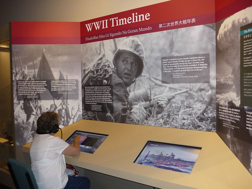
Virginia at the WWII Timeline exhibit at the visitor center. It gives an excellent, extensive timeline of events. This is where we spent much of our time at the visitor center.
We had a bite to eat in mid-afternoon at Taco Bell which is across the street from the visitor center. It was here that we first learned that we may be adapting to the heat in Guam. It felt so cold inside and when we came out we were almost relieved to feel the warmth!
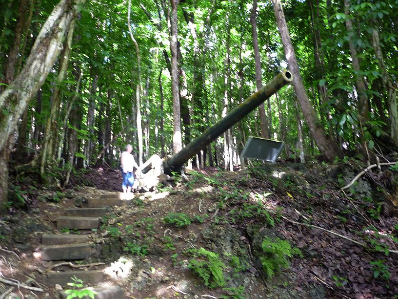
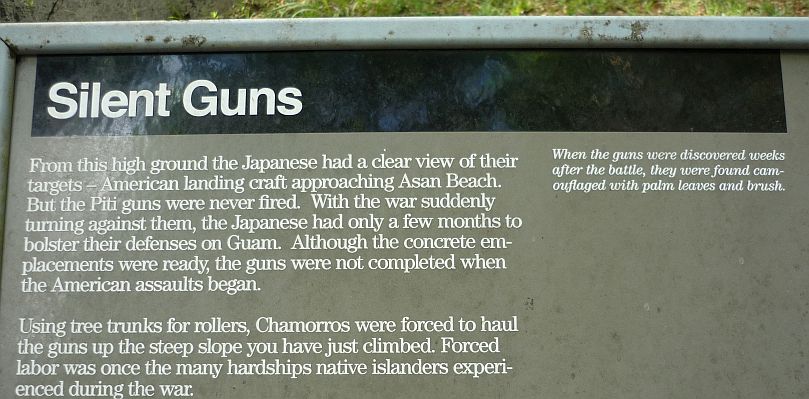
Our next visit was to the Piti Guns. Fortunately, we had picked up a brochure — http://www.nps.gov/wapa/planyourvisit/upload/PitiGuns-for-web.pdf — at the visitor center for directions, otherwise we would never have found it. It was not obvious, even with the directions. Fortunately, the brochure had a picture of the stairs behind the church’s social hall and I caught a brief glimpse of those stairs as we drove by. There were no signs on the street and the ‘parking’ was just a grass lawn.
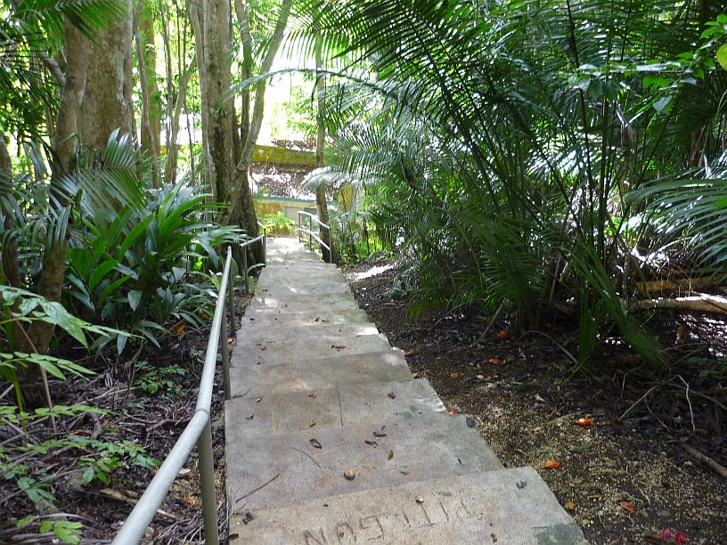
Looking down the stairs at the back of the church’s social hall, which is really in need of maintenance.

The trail was about 1/4 mile up to the gun placements. Can you imagine what this would have been like without a trail in World War II?
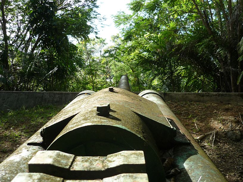
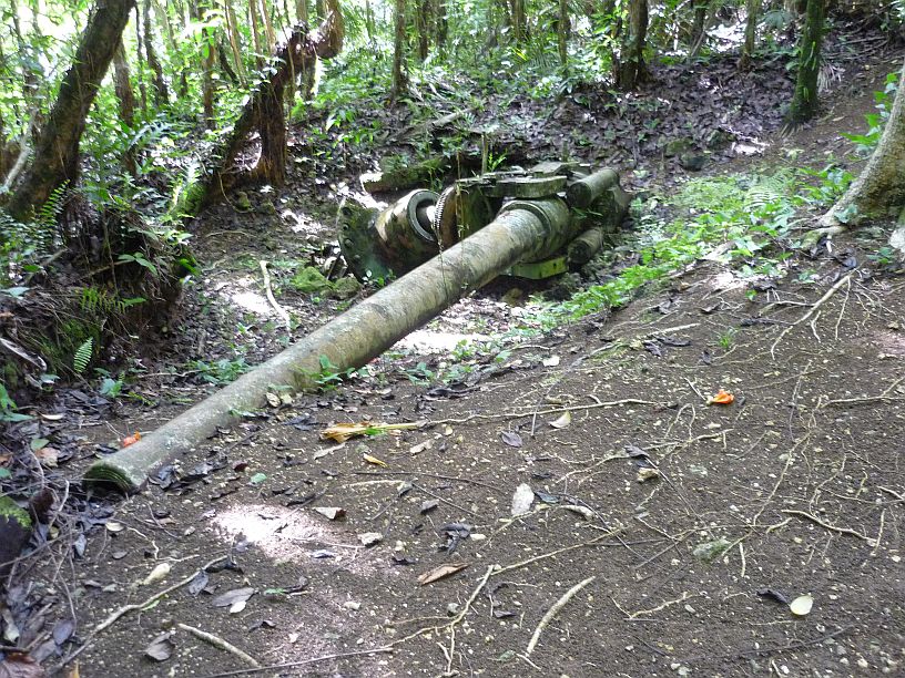
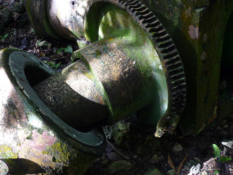
This well hidden gun, with a 10+ mile range, is within 1/2 mile of Apra Harbor and one mile of Asan Beach.
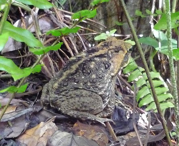
At the second gun, we saw this frog. It is about 6 inches long from nose to tail. Wonder if it might be the same as the ‘barking’ frogs at the transmitter site heard constantly behind the transmitter building that sound like barking dogs? [Don’t think so — www.guaminsects.net/gisac/index.php?title=Rana_guentheri ]
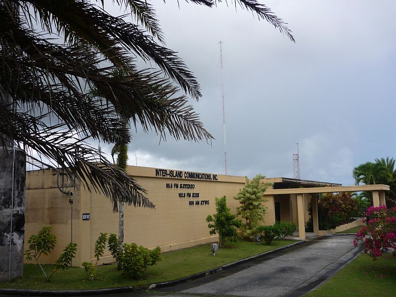
KTWG studio and office building with tall AM tower in the background. It also now houses two FM stations
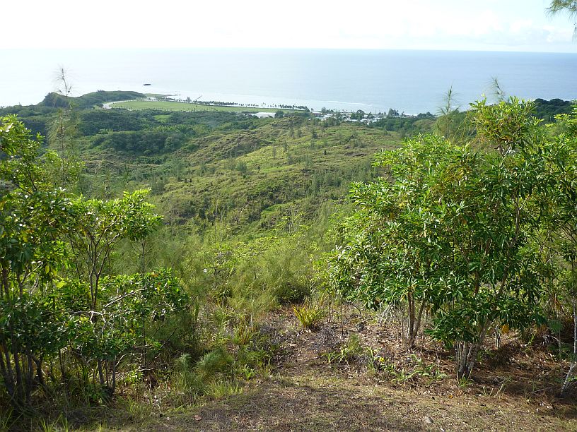
At the top of Nimitz Hill is Asan Bay Overlook, an overlook of Asan Point and Beach, the beach mentioned by the ranger at the visitor center earlier today. It is now a large park with several memorials.
Just past Asan Bay Overlook, we found the site of Mangan Quarry which was used as the command post for the Japanese during the battle for Guam. 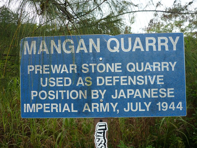
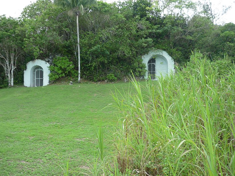
This is the site of the Japanese Command under General Takeshima. It is located just over the top of Nimitz Hill opposite the side from which the American forces landed.
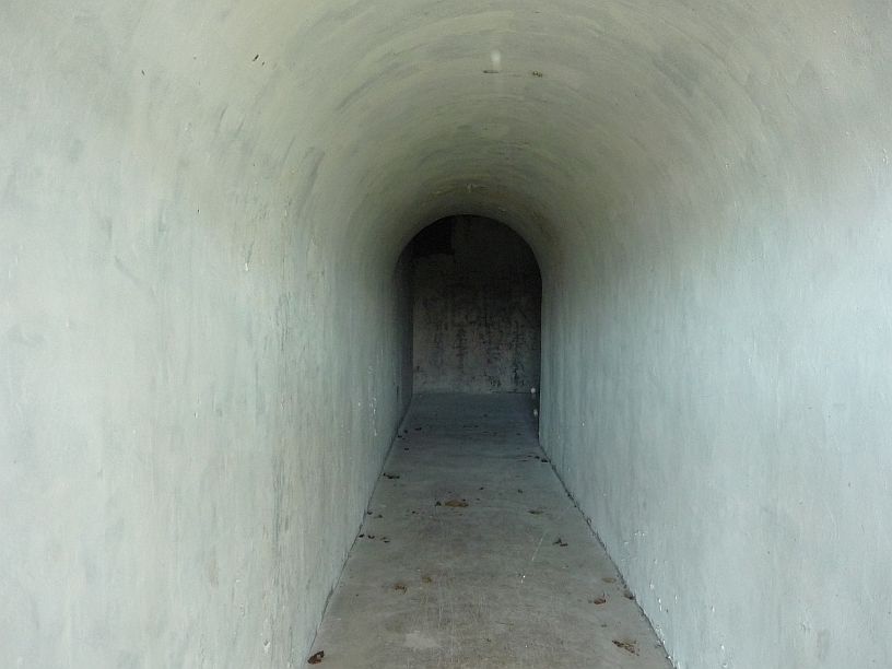
I took this photo through the left gate entrance to the Japanese command post. It tunnels quite far into the side of the hill.
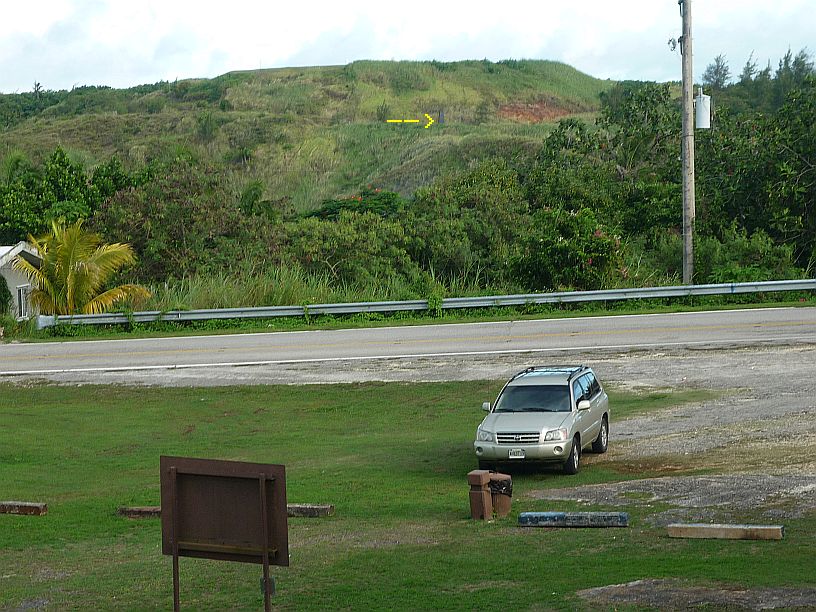
This photo was taken from the front of the Japanese Command Headquarters. Initially, I thought the bare spot in the side of the hill might be the crash site of Korean Airlines 801 on August 6, 1997 [It is]. Only after examining the photo closely, the top of the black obelisk memorial can be seen (yellow arrow). It is on restricted federal property and is only possible to drive there using the usually locked access road on the anniversary dates of the crash. But it is accessible by a 1-1/2 mile hike, if you can find the unmarked trail. I think I have found that trail using Google maps and we just might try it sometime.
It was now getting late, so we headed toward home. On the way we decided to find Family Beach where TWR staff is supposed to meet for a picnic on July 5. It is located along the thin peninsular north side of Apra Harbor. We discovered the commercial port is also located there, just before Family Beach.
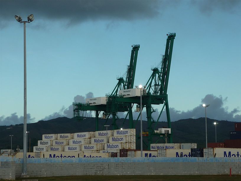
There appear to be over one hundred containers ready to be loaded at the port. The ones, identical to these, into which we packed the transmitters, are still at the transmitter site waiting to be picked up.
We made it back to the apartment after 6pm. It has been a long, but good, day!

