Grant and Jenna’s crates, with their personal effects from the U.S., were delivered early this morning. All the available mission men helped open the crates and carry boxes into their apartment. Their children were really excited that their ‘treasures’ had finally arrived!
We decided to do some more exploring towards the south today. Our first stop was at Fort Santo Angel. I wanted Virginia to see what I had only briefly seen last week. As we pulled into the parking area, I shifted the car into park. The car began to roll, so I quickly applied the parking brake and then discovered that the gear lever had become disconnected somewhere in the console. Well, we were already on location, so decided to explore and sort out the problem later.

As seen from Umatac’s Magellan monument, Fort Santo Angel is on top of the big rock at the entrance to Umatac Bay.

From the parking area, we made our way down to the beach.

We had to carefully work our way over about 100 yards of sharp rocks and concrete rubble to the stairs at the base of Fort Santo Angel.
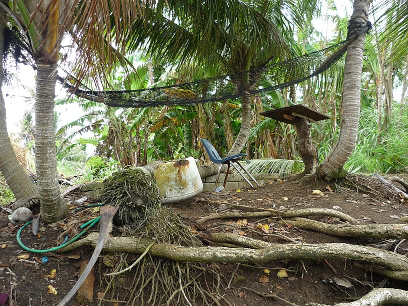
Looking up on the bank above the beach, we saw that someone had set up their own private getaway. A hammock, a chair and a desk. What more do you need? Maybe a shelter from rain!

We finally arrived at the steps going up to the fort.

In some places, the steps were not so obvious!

Virginia made it to the top — her first time here. These are the remaining walls to Fort Santo Angel.
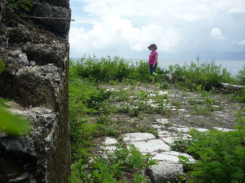
Looking from the fort across the courtyard which is surrounded by a low wall.

Another view of Fort Santo Angel — note the stairs which must have led to a higher lookout or a second floor of the fort.

There were several places around the fort that were sheer cliff edges with no safety rails — maybe this is why this site is not well marked for tourists. It was about 80 feet to the beach below. Note the concrete block pillar laying at the bottom.

The ‘newer’ Fort Soledad as seen from Fort Santo Angel.
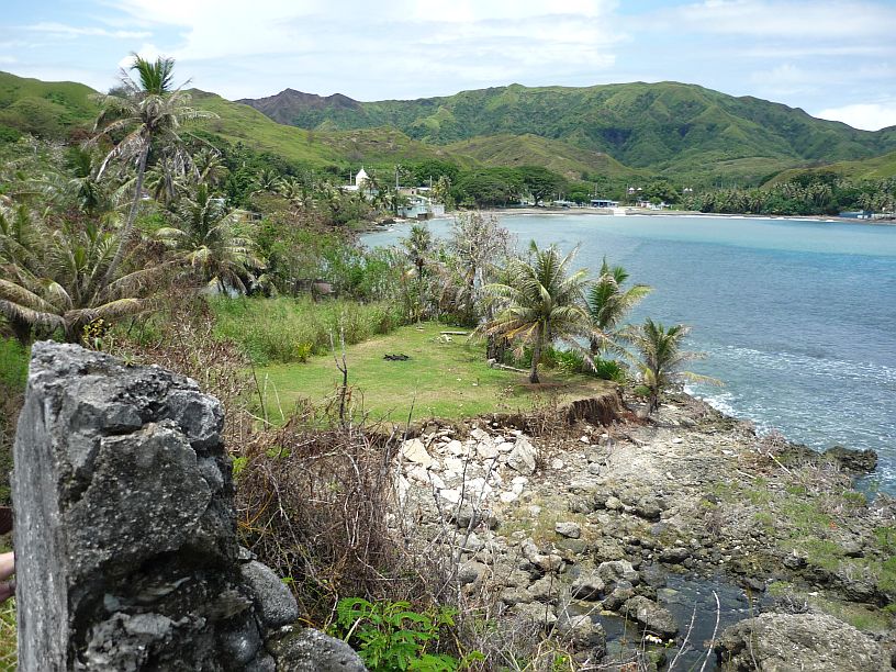
Looking from Fort Santo Angel toward Umatac Bay and the village of Umatac. The rocky beach that we followed to the steps can be seen here. Note the grass clearing. We decided to take an easier route back by climbing the bank to the clearing, then taking a road that exits from the left of the clearing.

We followed the road to another clearing behind two houses, then followed the tree line parallel to the beach to this dilapidated bridge to the parking area. We did try to ignore some barking dogs at the houses.
Now, back to original challenge of the broken shift linkage! We decided to go home and see if we could somehow get it repaired. Because another car had parked in front of ours, it was now not possible to drive out forward. We set the parking brake extra tight and Virginia stepped on the foot brake just to be safe. We started the car and I reached under the open hood and shifted the transmission lever into reverse. We then released the parking brake briefly to reverse just enough to be able to drive out going forward. Using the same method as before, I shifted the transmission lever into drive, closed the hood and drove the ten miles back to the apartment.
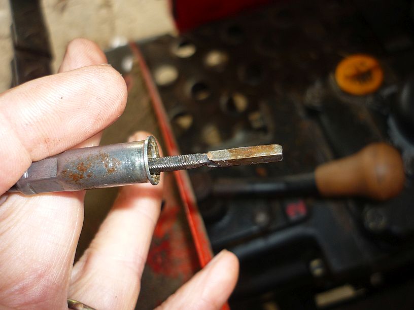
Since Joel had repaired this problem before, I had him show me how to get the gear lever console open. The bushing, that he had repaired last month, had completely disintegrated. A trip down the road to a Napa store confirmed our fears — this is a dealer part! The counter person said that his Toyota failed similarly and he temporarily repaired it with a cable tie until a part could be obtained. Back at the apartment we called the Toyota dealer who informed us that the bushing is part of the transmission cable — cost over $400. We decided the cable tie repair would do for now. I looked in a tool kit that the mission provided for use in the apartment. Lo and behold, there were cable ties in it! Joel came up with an idea to use two cable ties in such a way that they would hold the cable on the gear lever pin, yet keep the cable ties from tightening up when shifting, as would happen with one cable tie. Next week, I hope to make a bushing for a more permanent repair for a lot less than $400!
Back on the road again, we started where broke down — Umatac.
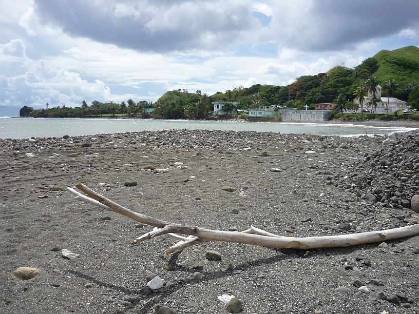
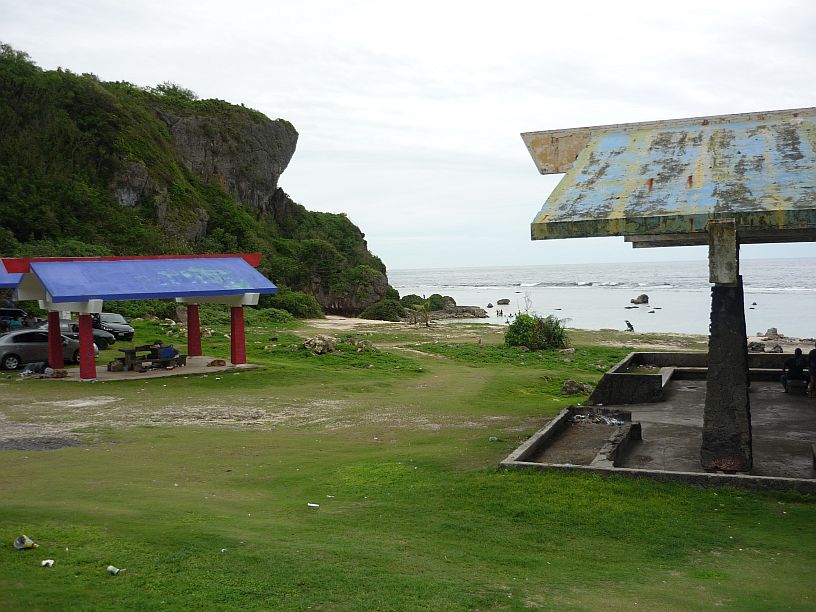
From Umatac Beach Bay looking toward Fort Santo Angel, Umatac village and the church.

A simple, but functional, stage at Umatac Beach Park.

Many of the retaining walls in Guam are painted with murals. Umatac has one of them.
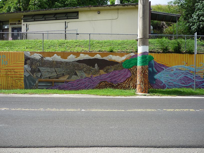
The Umatac mural continues to the left. Note that the light pole is part of the mural!

To the left of the mural was what some might call a poem. It is supposed to be the Chamorro folktale about creation — http://www.guampedia.com/puntan-and-fuuna-gods-of-creation/
http://www.guampedia.com/puntan-and-fuuna-gods-of-creation/
From Umatac we continued on Route 4 to Merizo. Since last week, we learned of two massacre sites, Faha and Tinta, in Merizo, which were commemorated events in the days before the 70th anniversary of Liberation Day — http://www.guampedia.com/war-atrocities-tinta-and-faha-cave-massacres/
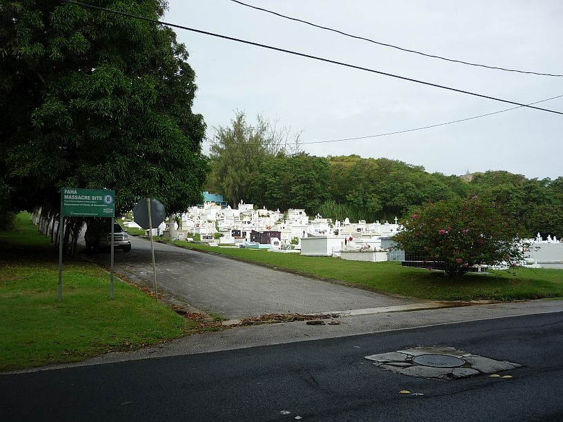
The start of the trail to the Faha massacre site is located behind the Merizo cemetery. Larry goes by this cemetery everyday, but this is the first time he has noticed the Faha sign because it is parallel to the road. It might save money to have a one-sided sign like this, but it definitely is not easily seen when driving by. Larry learned the location of Faha by researching websites, then noticed the sign!

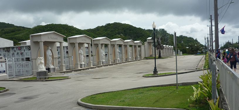
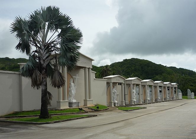
The Merizo cemetery was running out of space, so this is how it has been expanded.

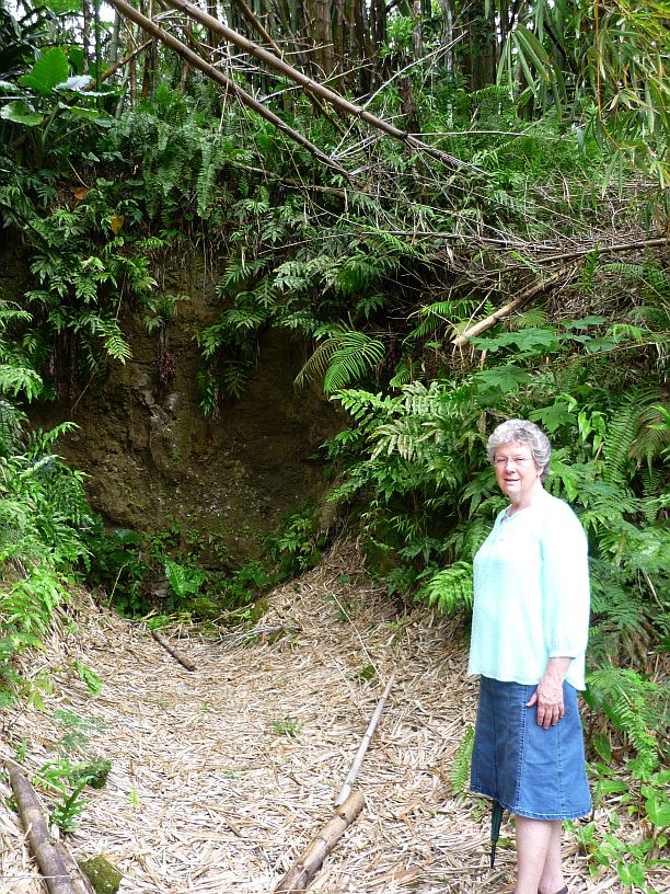
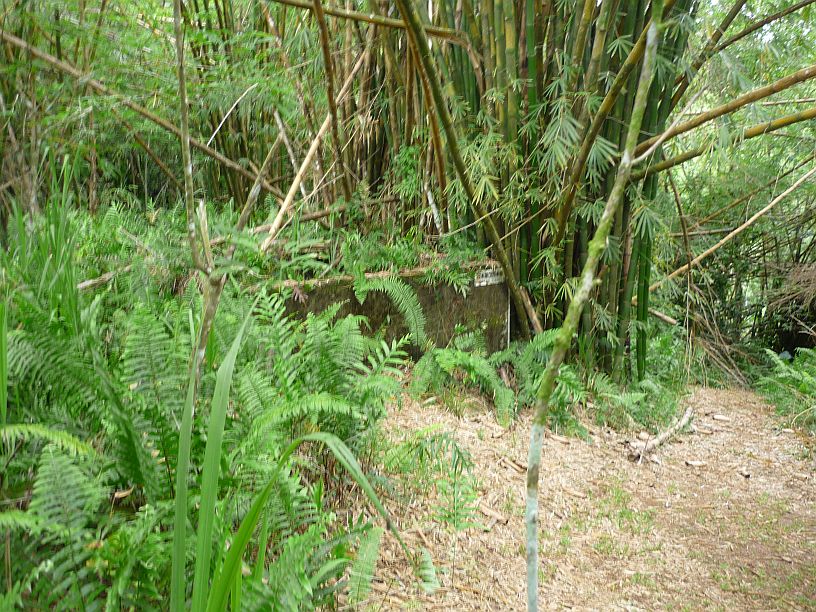
This is the start of the Faha trail behind the cemetery. It had been recently maintained for the 70th anniversary of the event.
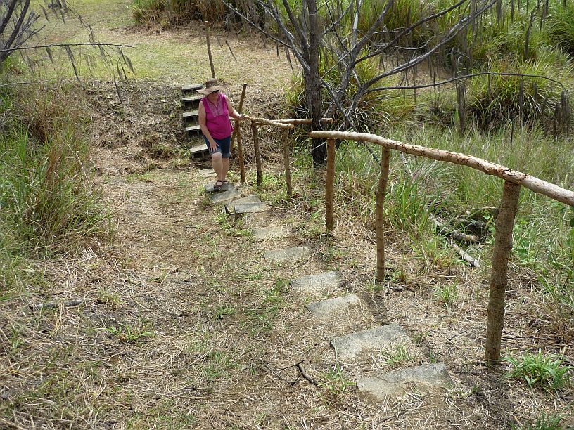
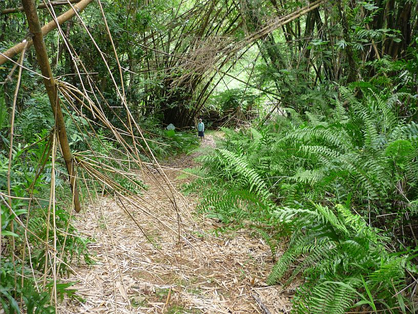
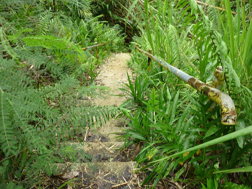
The trail continues for about 400 yards.

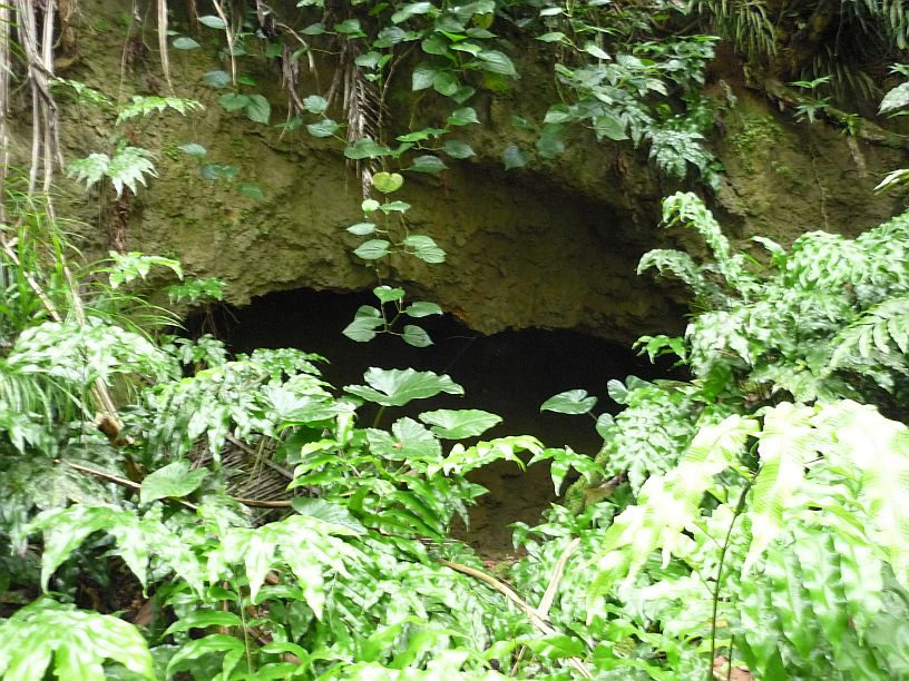
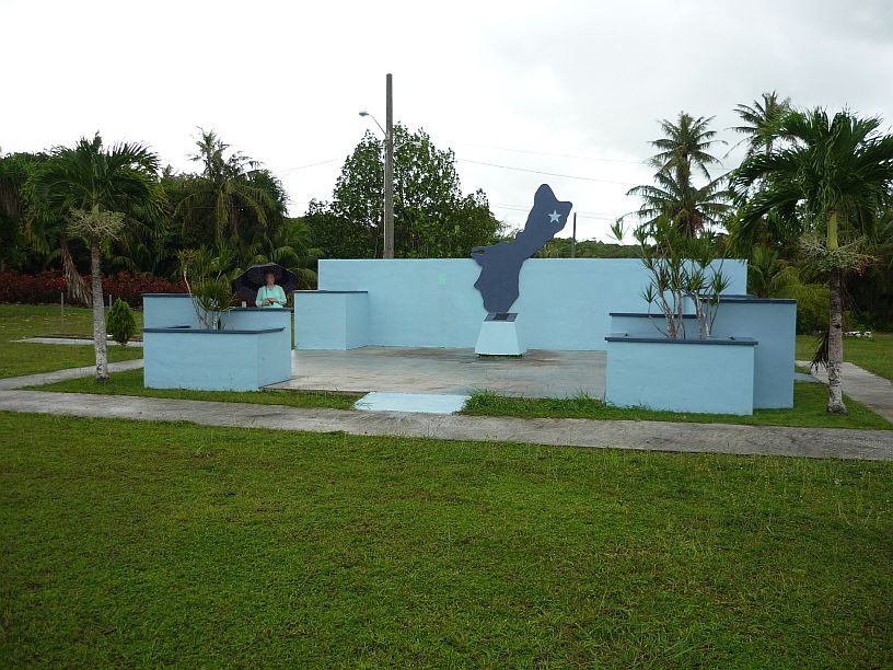
Faha Massacre Site where the Japanese soldiers killed 30 Chamorro men, who they feared might rebel.


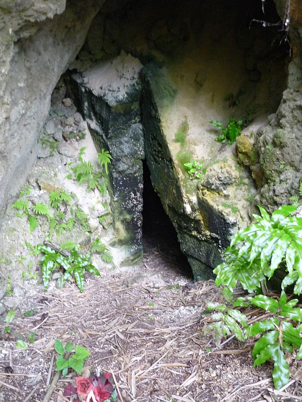
This plague lists the 30 victims that were killed in this massacre — no one survived.

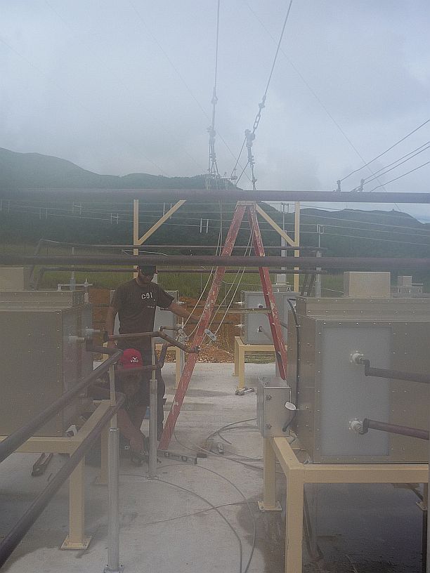
TWR Guam’s antennas are only about 1/2 mile from Faha. In the valley below are Priest’s Pools, where we will go next.

We took the road up the hill to the residential area southeast of the transmitting site and took this photo that shows all the TWR towers. The most interesting part of the photo turns out to be the little ‘tent-like’ structures in this side yard. A rooster was tethered by his foot to each ‘tent’. Since chickens are usually allowed to roam all over the island, we believe these must be someone’s fighting gamecocks. Guam is mentioned as one of the countries that has facilities to watch cock fights — http://en.wikipedia.org/wiki/Cockfight
http://en.wikipedia.org/wiki/Cockfight
There are no signs indicating the location of Priest’s Pools. We found out how to get to them by researching websites. Turn off Route 1 in Merizo by the church and drive up the hill (towards TWR) and turn left onto the second street. Drive to the end of the street and park.

This old street sign (Fanugmakan Pale’) is at the start of the trail to Priest’s Pools.

The trail is mostly on open grassland and is obviously well used. We met at least three 4-wheelers in the 1/4 mile walk. The pools are only 1/4 mile down the hill from the TWR towers.
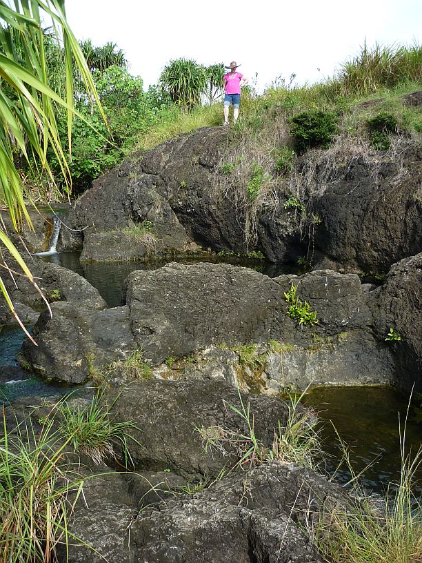
There are several pools at Priest’s Pools. Can you see the small waterfall? There are several small water falls and more pools behind the photographer.
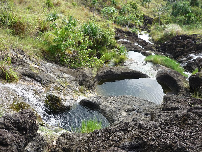
These other picturesque pools, at Priest Pools, are just downstream from those in the previous photo.
http://hubpages.com/hub/Priest-Pools-Hike-Best-Hikes-in-Guam-USA

Shortly we got to Priest’s Pools, four boys arrived and began jumping into the deepest pool.

The boys had a waterproof video camera with them and were using it a lot. Their videos might already be on youtube.com.

On the walk back to the car, we saw this flower. It is not on the chart that we have of Guam’s wildflowers. We think it might be an introduced, invasive species called rattleweed.
Driving south in Merizo on Route 4 we noticed a hand written sign with an arrow to “Tinta”. Thinking this might be a sign pointing to the Tinta massacre site, we turned left, just past the Shell station, onto Espinosa Ave. About 150 yards down this road we saw a similar sign pointing to the right. This was a driveway passing an abandoned house on the left and ending at the garage door of a newer home, that had a ‘For Sale’ sign on it. We felt uneasy about going into someone’s driveway. After someone at the Shell station confirmed that this was indeed the right place, we returned and parked in the front yard. We could see a trail leading off to the left of the house and followed it.
![The trail had recently been mowed fot the 70 anniversary observation. We walked past a grazing cow tethered to a long rope, and across a small creek ["Papatguan River"] using stepping stones At one point there was a huge mud hole across the trail. Virginia was wearing sandals and had to turn go back, but I managed to get across without getting my feet wet.](https://mcguirereport.mcguireclan.org/wp-content/uploads/2014/07/140719-Tinta-Trail.jpg)
The trail had recently been mowed for the 70 anniversary commemoration. We walked past a grazing cow tethered to a long rope, and across a small creek [“Papatguan River”] using stepping stones At one point there was a huge mud hole across the trail. Virginia was wearing sandals and had to turn go back, but I managed to get across without getting my feet wet.
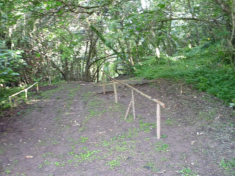
After the mud hole, about 1/2 mile into the hike, the trail started up a small rise.

Just a little further up the trail, is the Tinta Massacre Site with its memorials.


This memorial lists the names of those who died and those who survived the massacre. “Buck” Cruz, the former mayor of Merizo, commissioned both these memorials and the ones at Faha. His father Ramon Cruz was one of those killed at Tinta while “Buck” was still a young boy.
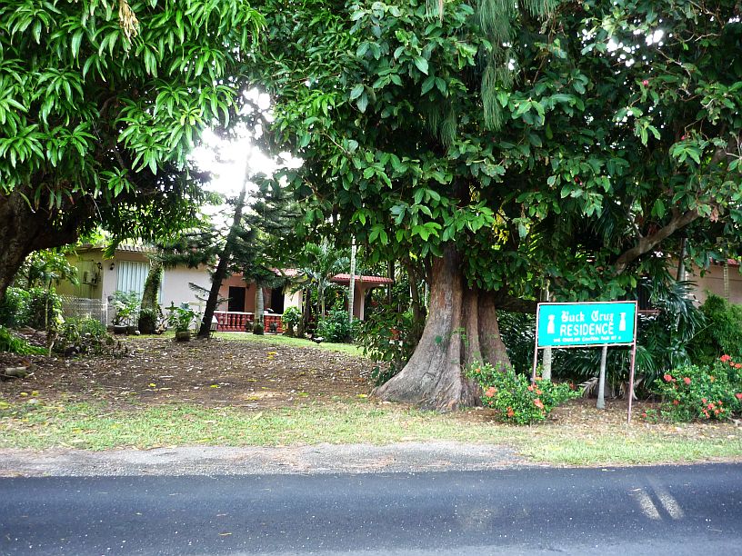
On the way home, we drove past “Buck” Cruz’s home on the far south end of Merizo. Buck was the mayor of Merizo for many years between 1979 and 2000.
Interesting history – “Merizo [was] the first village on Guam to be liberated, and the only one to be liberated by the Chamorros themselves”. http://guam.stripes.com/travel/get-know-guam-merizo