Tropical storm Neoguri dumped an inch or so of rain last night, but this morning the rain let up. We decided to drive further south than previous ventures to see more landmarks. We are including many photos with captions in this blog.

The Agat Cemetery has quite elaborate memorials, which is typical of the Catholic cemeteries on Guam.

We made a quick stop at the Sella Bay Trailhead overlook and saw some of the damage done by tropical storm Neoguri. It wasn’t like this last week.
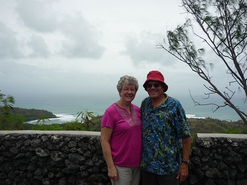
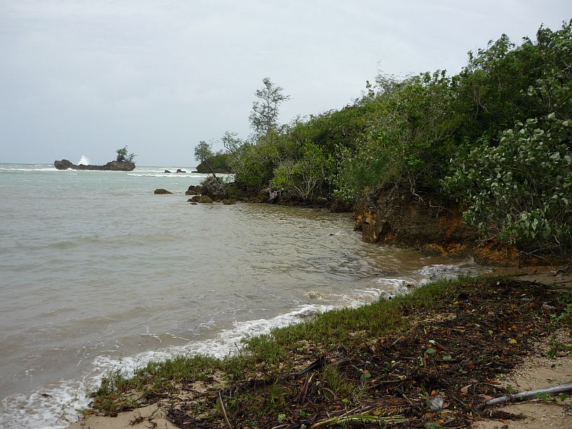
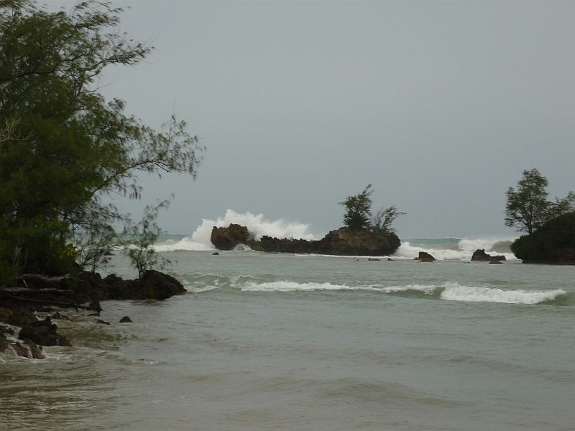
At the Sella Bay Overlook, we saw a Japanese couple (probably newlyweds) and offered to take their photo with their cell phone. In turn, they took our photo with our camera. Sella Bay is in the background with large waves. The west coast usually has few waves, but with tropical storm Neoguri having just passed, there will be lots of breaking waves in all our photos today.

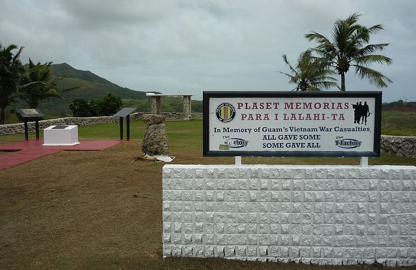
A full view of the Guam Vietnam Memorial to Guam citizens who died while serving the U.S. during the Vietnam War.
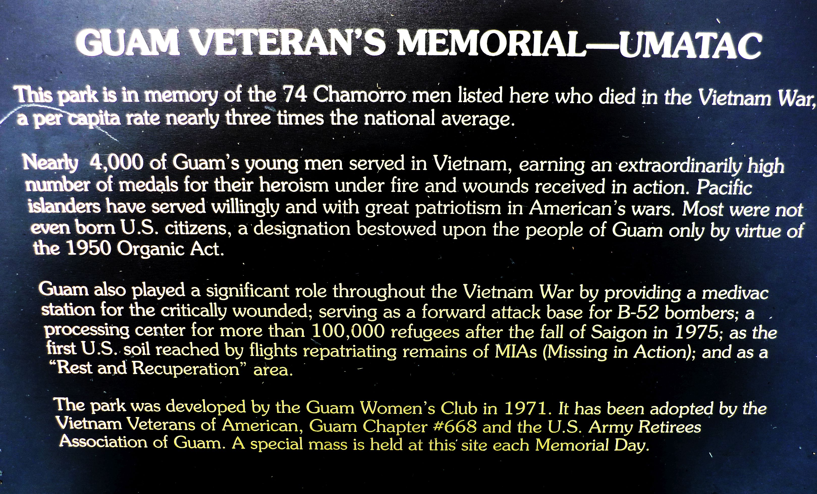
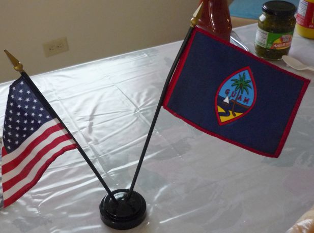
As can be seen here, Guam is proud to be part of the U.S. , even if only a territory. Hence their motto, “Guam — where America’s day begins” (since Guam is located on the west side of the International Date Line)
Upon entering the village of Umatac from the north, we found this sign. The only path we could find went into someone’s backyard. Doing some research, we found that it was a Spanish fort on a rock at the north entrance to the harbor. There was a description of steps remaining on that rock, but no photos could be found anywhere. We wonder if anyone has been there in recent years. This is a site we may try explore further, if we have the time.
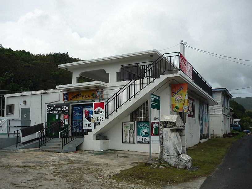
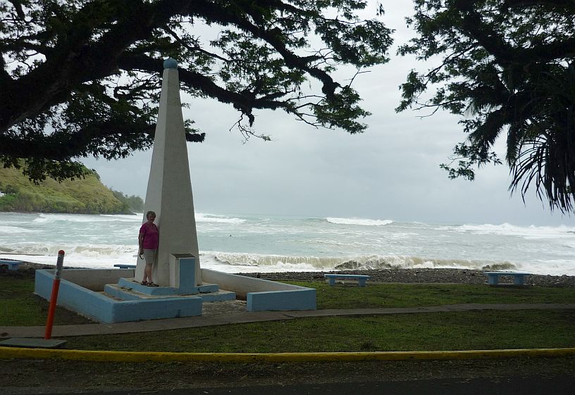
Less than 100 yards from the Fort Santo Angel sign is Sam’s by the Sea. We did not patronize the shop, but note the memorial within two feet of the road in front of it.

This outdoor library had wood bookshelves. The slots for the shelves can be seen on the right. There were also shelves on the left. When it was originally built, there was a wooden shelter to help protect books from the weather.

Looking toward Umatac Bay from the Outdoor Library, the huge waves can be seen coming into this normally very calm bay. We drive this route every day to get to the TWR Guam transmitter site.

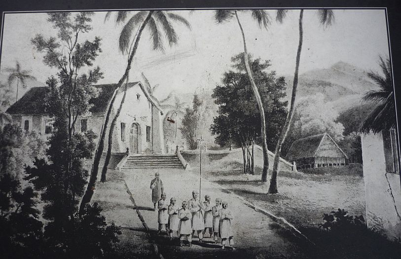
Another 100 yards down the road is the largest structure in Umatac village — San Dionisio Catholic Church — a reminder of the Spanish colonization of Guam.
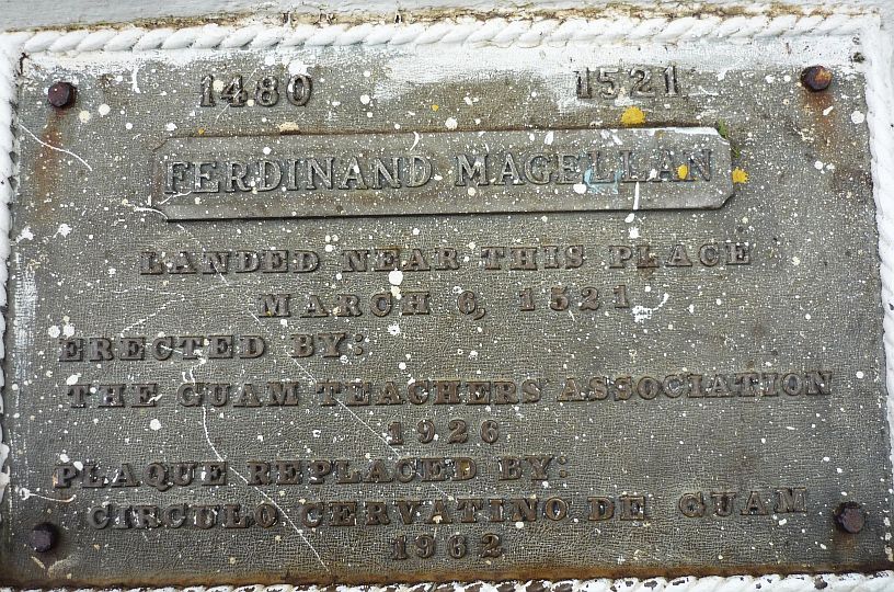
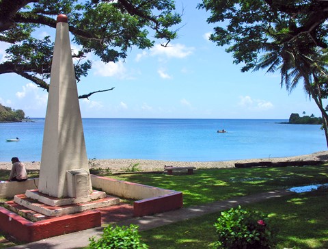
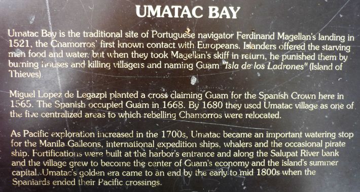
We don’t usually make comments on the plaques, but this one could use some cleaning, and should be protected when the monument is painted in the future!
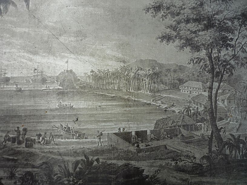
Notice the flag on top of the rock that was probably the location of Fort Santo Angel
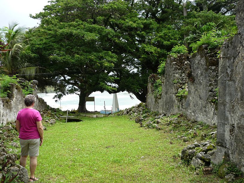
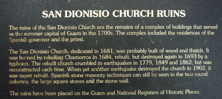
Across the narrow main road from the Magellan Monument are the ruins of the original San Dionisio Church.
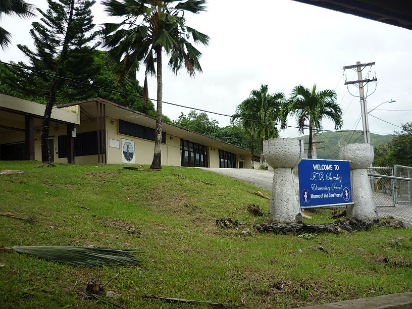
The elementary school in Umatac surrounds the church ruins on three sides. How would you like to have ‘Sea Horses’ as your mascot name?
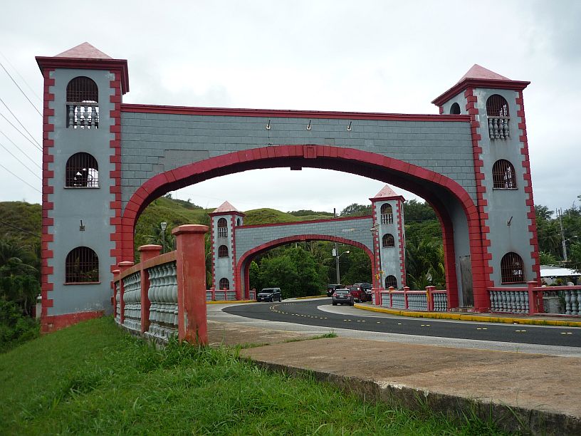
The Magellan Memorial Arches on either side of the bridge that crosses Umatac River that empties into Umatac Bay.
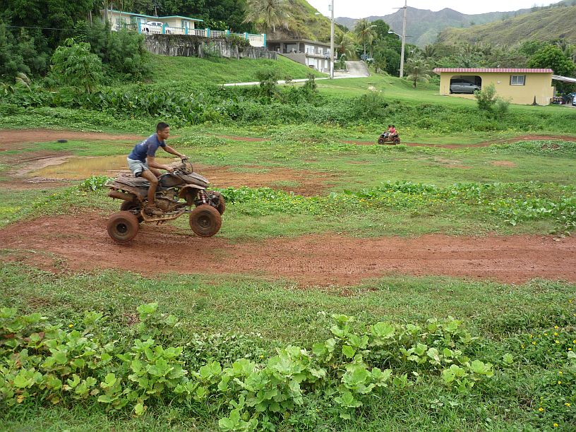
Like a lot of places with old history, the old and the new exist side-by-side. Turning to my left while photographing the memorial arches, I captured this photo of boys riding ATVs on a muddy track. The older boy was showing off for the camera. The two younger boys were much more cautious riders.

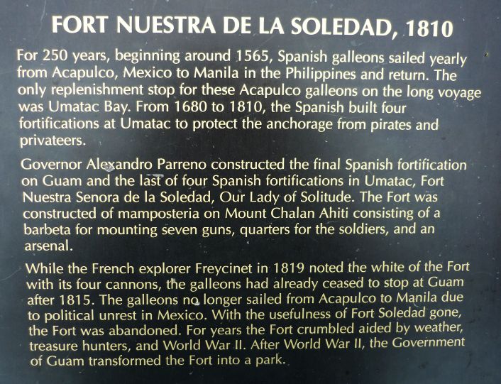
On a high hill on the south side of Umatac Bay is Fort Soledad, a later Spanish fort. We mentioned this fort in one of our earliest blogs from Guam.
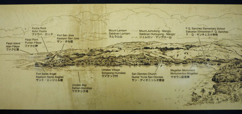
This plaque shows the various landmarks around Umatac Bay as seen from Fort Soledad.

In this view of Umatac Bay, we believe that Fort Santo Angel was located on the rock jutting out from shore on the north side of the bay. Fort San Jose was another fort sitting on the hill just to the right of Fort San Jose.
Visit — http://www.guampedia.com/fort-san-jose/ — to learn some history of the four different forts that were located at Umatac Bay from 1680 to 1810.
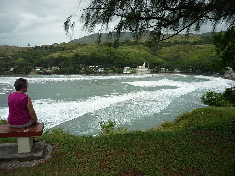
In this view of the bay, Umatac Village can be seen and the catholic church. At the right end of the bay are the Magellan Monuments (not visible in this photo).
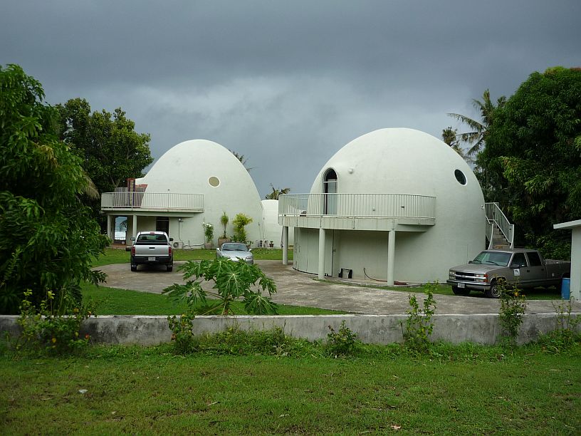
About four houses into the village of Merizo (about 5 miles south of Umatac) are these domed houses. The dome on the right is actually a garage with a living area above it. We met the owners during one of our visits to Asan Bay Overlook.
More can be found about the building of these two domes at: http://www.guampdn.com/guampublishing/special-sections/IslandHomes/pg7.asp
We continued our sightseeing around the south end of Guam then back home via inter-island Routes 4, 4A and 17. Unfortunately, as we drove into Merizo, it began to rain rather heavily and it was not possible to take photos outside our vehicle. We will try to start at Meritzo next Saturday and continue our tour of the south of Guam.
We did manage to take a couple photos of the TWR shortwave antennas on the hill above Merizo, after delivering one of the office chairs that we had been given. The cloudy skies provided a backdrop that made the network of wires show more clearly.
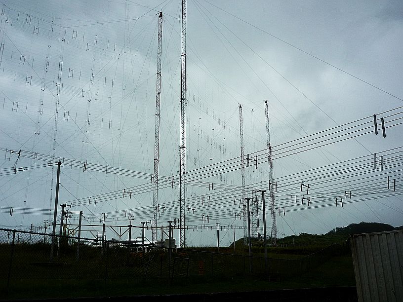
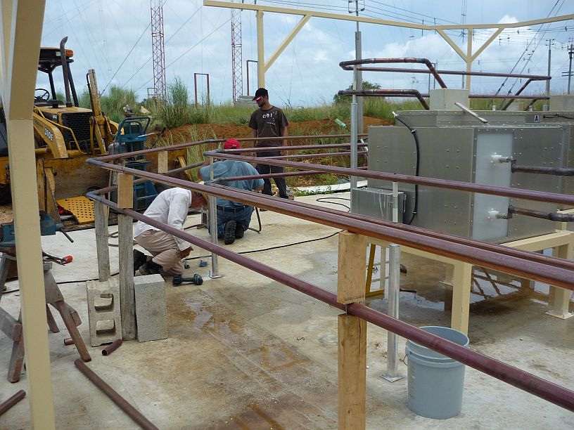
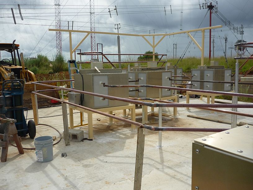
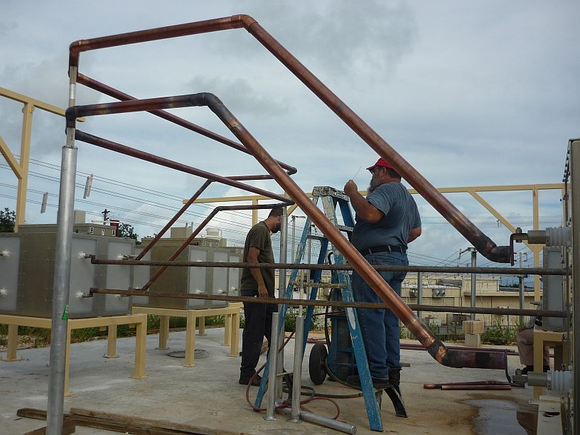
In this photo, you can see two of the 5 shortwave antennas. The transmission lines leaving the building take the signal from the transmitters to the antennas. The antenna switch matrix that we are building is located on the slope below the base of the left tower.

This photo was taken from a road about 1/4 mile south east of the KTWR shortwave curtain antenna arrays.

