We woke up to find that it was raining fairly hard, but the wind was very light compared to the 60 mph winds that had been forecast. We learned that the storm warning had been lifted. Tropical storm Rammasun had swerved to the north, circumvented Guam, and continued on its anticipated course toward the Philippines. We know many were praying — could it be??!!

There was lots of standing water and it was still raining when we looked outside this morning. If it keeps raining like this in days ahead, there will be a jungle in our ‘front yard’.
About noon, the rain let up and we decided to head south again and took these photos:

As we started south, we noticed that there was a very low tide. It appears that it would be possible to walk to these two islands in Agat Bay, which are normally surrounded by water, without getting wet feet.
We made a quick stop at Nimitz Beach Park:
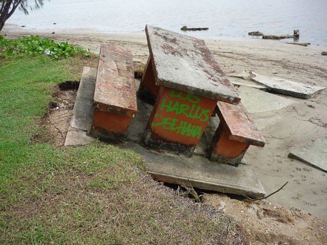
This photo of the same table was taken on 12 July 2014. Wonder if tropical storm Neoguri did this or did too many picnickers sit on the wrong side?!
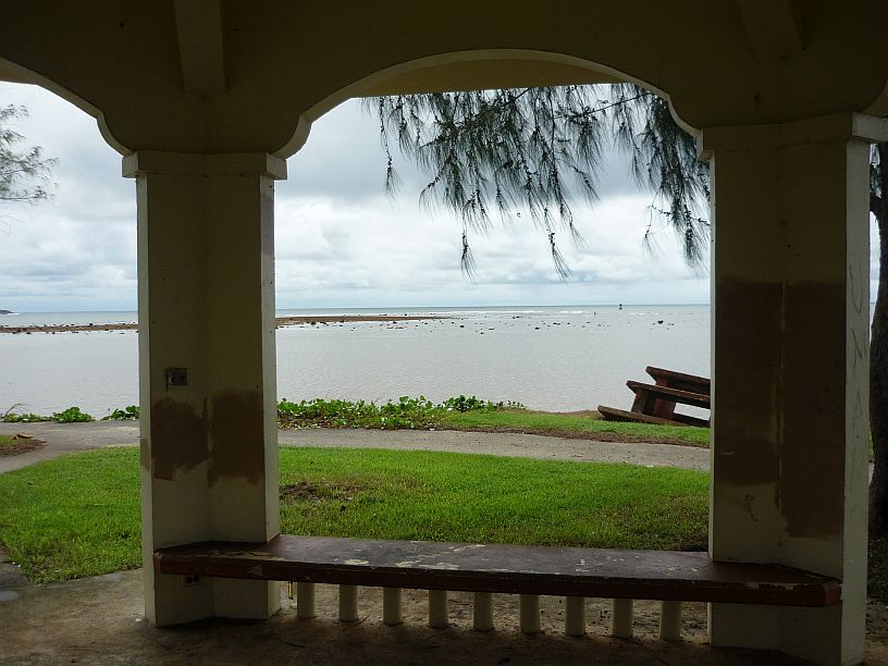
Nimitz Beach at low tide as seen from a pavilion at the park. The leaning picnic table is at the right.
Our next quick stop was at the Stella Bay Overlook to see if the waterfall was flowing:

The rains from tropical storm Rammasun was enough to temporarily start the flow of the waterfall on Mt. Lamlam.
Next a quick stop at Cetti Bay Overlook:
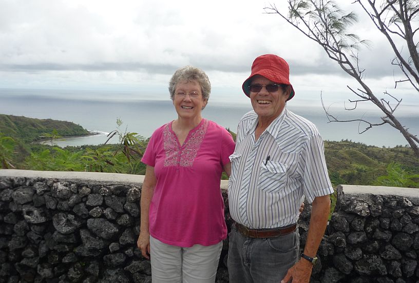
At Cetti Bay overlook, a newly-wed Japanese couple were taking each others’ photo. We offered to use their phone so they would have a photo of both of them together. Afterwards, they insisted on using our camera to take our photo.

It is possible to see the TWR antennas from Cetti Bay overlook. Cocos Island Resort is also easily seen.
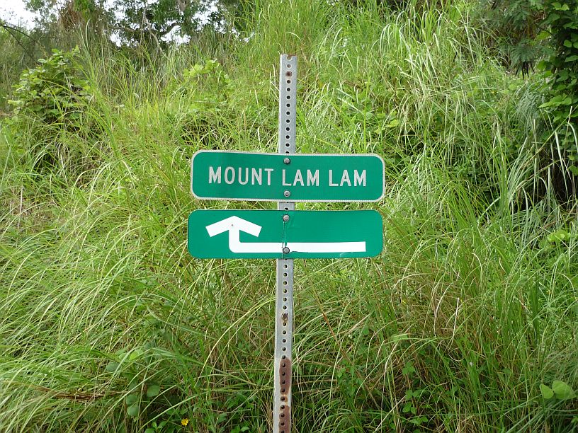
Across the road from the Cetti Bay parking lot, is this small, easy-to-miss, sign marking the trail to Mount Lam Lam.

This is the start of the one mile trail up Mt. Lam Lam. Partway up there is a branch to the right going to Mt Jumullong Manglo. We did not try to hike this trail today, because it is extremely slippery from the rain of tropical storm Rammasun.

Mt Jumullong Manglo, to the south of Mt Lam Lam, is the second highest peak on Guam at 1,283 feet. Hundreds of Guam Catholics make an annual Good Friday pilgrimage to the top where about a dozen crosses are located.
Our next stop was at Merizo — http://www.guampedia.com/merizo-malesso — where we were rained out on our last trip south:
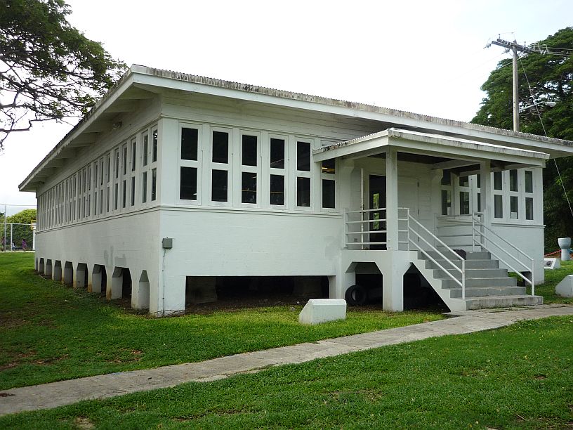
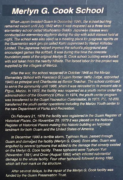
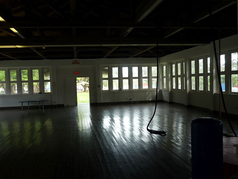
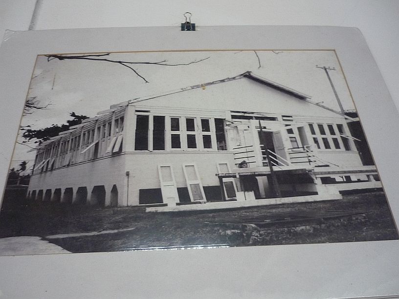
This Merlyn G. Cook school in Merizo was originally built in early 1941 by the US Navy for radio communications just before the Japanese invasion.
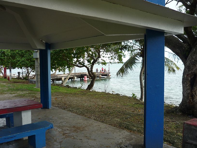
Immediately south of the school is Merizo Pier Park. It was just off this pier, less than six days ago, that two men drown when their boat capsized due to tropical storm Neoguri.
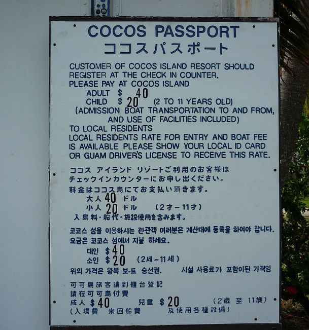
Immediately south of the Merizo Pier, is the dock for the boat to Cocos Island Resort.
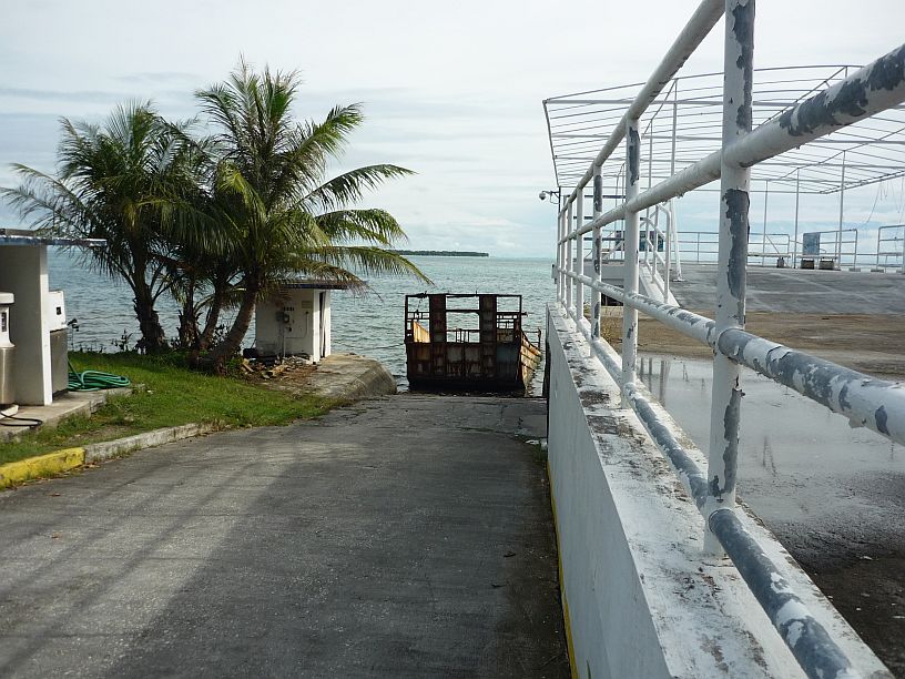
Each day as Larry rides to work he has noticed this ferry for vehicles next to the Cocos dock, but has never seen it move.
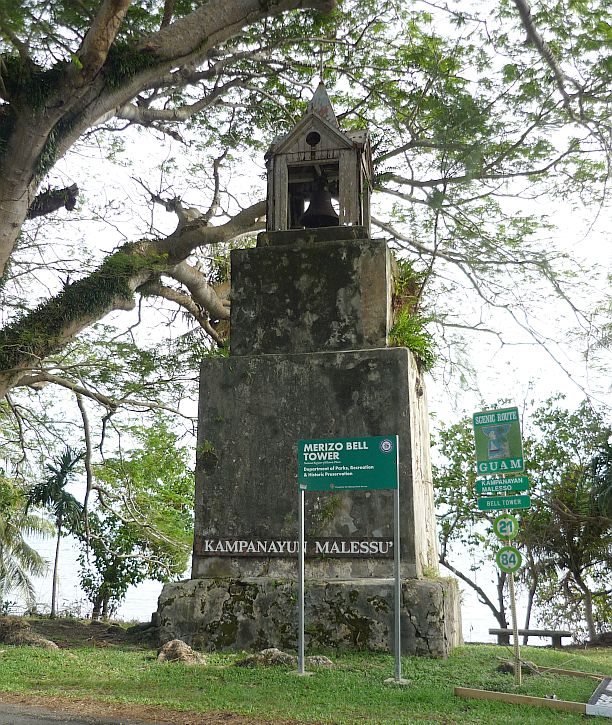
About 0.2 mile southeast of Merizo Pier is this old bell tower, built about 1914 — http://en.wikipedia.org/wiki/Merizo_Bell_Tower
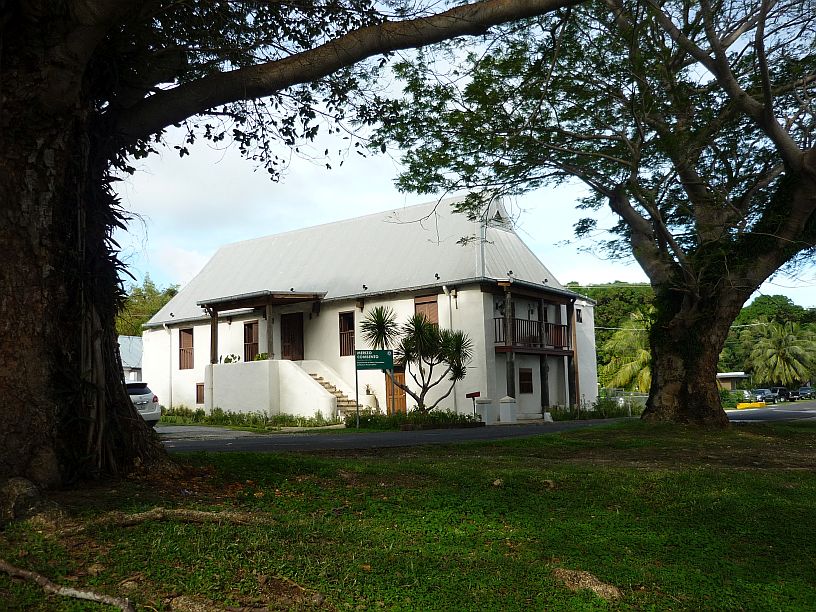
Malesso Kombento, located across the road from the Bell Tower, was built in 1856 and is supposedly the oldest building on Guam.
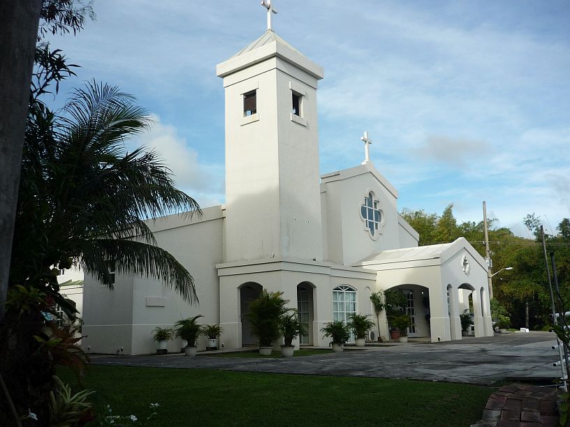
Behind Malesso Kombento, is San Dimas Catholic Church. The road to The TWR transmitter site runs up the hill along the other side these two buildings. There is a trail to an overlook that starts in the corner of the parking lot from which this photo was taken.

Virginia navigating the trail from the church. The trail has not been maintained, nor used, for a long time.
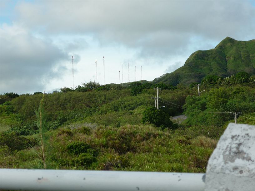
Looking the other way from the overlook, it is possible to see the TWR towers and the road winding up the hill.
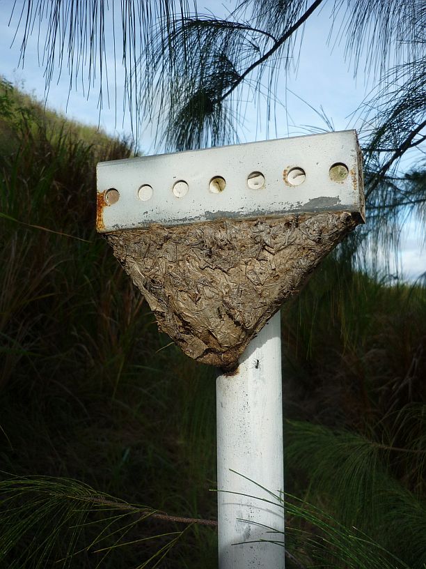
Also on this trail we found this nest on a pole. The crosspiece at the top is about 8″ long. We have not been able to determine what is is, but there were ants all over it. Is it some type of ants’ nest? It was made of some type of plant material.
We headed back north toward ‘home’ in Agat, but decided to stop at the village of Umatac to see if we could be more successful in locating Fort Santo Angel than last time. This time, we determined to try access from along the shore. Virginia was not wearing shoes to traverse the rocky shore and waited for me. Starting from the sign for Fort Santo Angelo — http://www.guampedia.com/fort-santo-angel/ — I walked along the rocky shore for about 100 yards and saw steps heading up the rock at the entrance to Umatac Bay.
![Walking on the shore, it was easy to see the Fort Santo Angel on top of the rock. [Sorry this photo is out of focus and our camera's battery died before I could retake it. Will try to replace this photo with a good one]](https://mcguirereport.mcguireclan.org/wp-content/uploads/2014/07/140712-FortSantoAngel.jpg)
Walking on the shore, it was easy to see the Fort Santo Angel on top of the rock. [Sorry this photo is out of focus and our camera’s battery died before I could retake it. Will try to replace this photo with a good one]
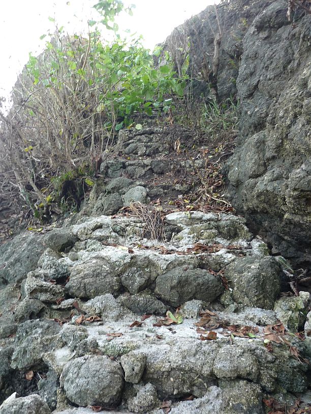
The steps up to Fort Santo Angel were fairly easy to find. It is obvious that they are not often used. Halfway up the stairs, I met a young couple with a dog on their way down.

The view from Fort Santo Angel toward the village of Umatac is amazing from about 60 feet above the sea level. The old courtyard of the fort can be seen in the foreground.
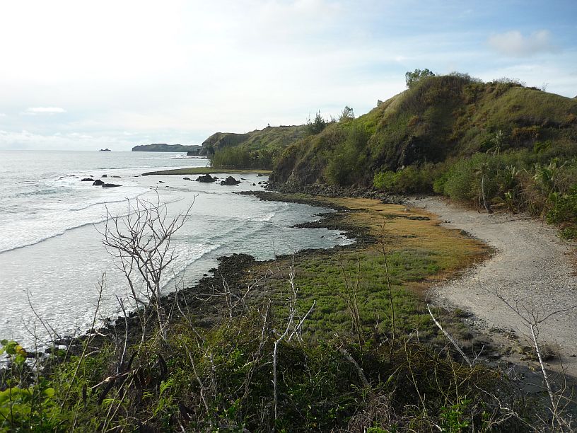
This is the view from Fort Santo Angel towards the north. This is a great place for the Spanish to defend Umatac Bay
We have now visited two, of the four successive, Spanish forts that were used to defend Umatac Bay. We wonder if we can find Fort Jose, or is it completely gone. http://www.guampedia.com/fort-san-jose/










Fun. Adventure! History, conquest