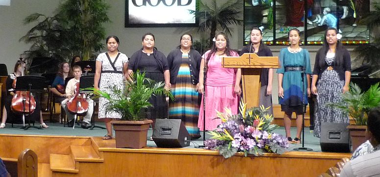
There was a great septet of lady Chamorro singers at Harvest Baptist Church. Pastor Herron continued his series of messages from Genesis on the life of Joseph. This series will come to an end on the last Sunday we are here. How’s that for timing?!
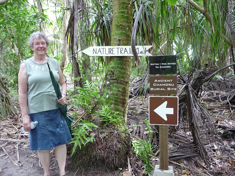
 After church we headed north to Ritidian Point. This is the place we arrived at last week too late to enter. We wanted to get there as quickly as possible. Here is a photo tour of our afternoon:
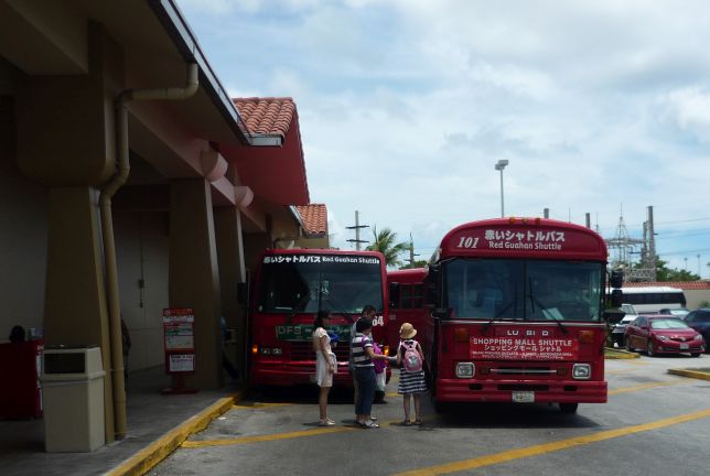
First a quick stop at Home Depot to get a replacement light switch for one of our ceiling fans, then a quick stop at Kmart for some bread and milk. At Kmart we saw at least four buses bring Japanese tourists from the hotels. It was BUSY inside!
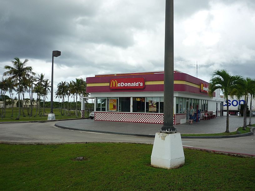
To get a quick lunch, we stopped at this McDonalds, with a retro look, on the way. Actually it is on Navy property, but open to the public. The fence of the Navy property goes around three side. There were two large refrigerated semi trailers parked behind the store to provide extra cold room capacity, so it must be quite busy at times.

The road to Ritidian became quite full of potholes after the last main gate into Anderson Air Force Base.

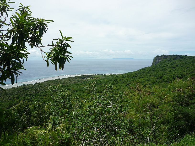
The island of Rota is about 40 miles away. Although smaller than Guam, Rota’s mountains are higher. As of July 2013, there were just 131 registered automobiles on the island of Rota — http://en.wikipedia.org/wiki/Rota_(island) — compared to tens of thousands on Guam!

After descending down a winding road we arrived at the nature center (closed on Sunday) at Ritidian Beach.
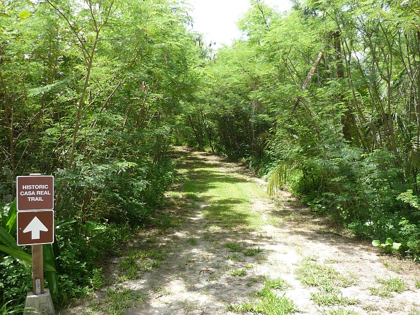
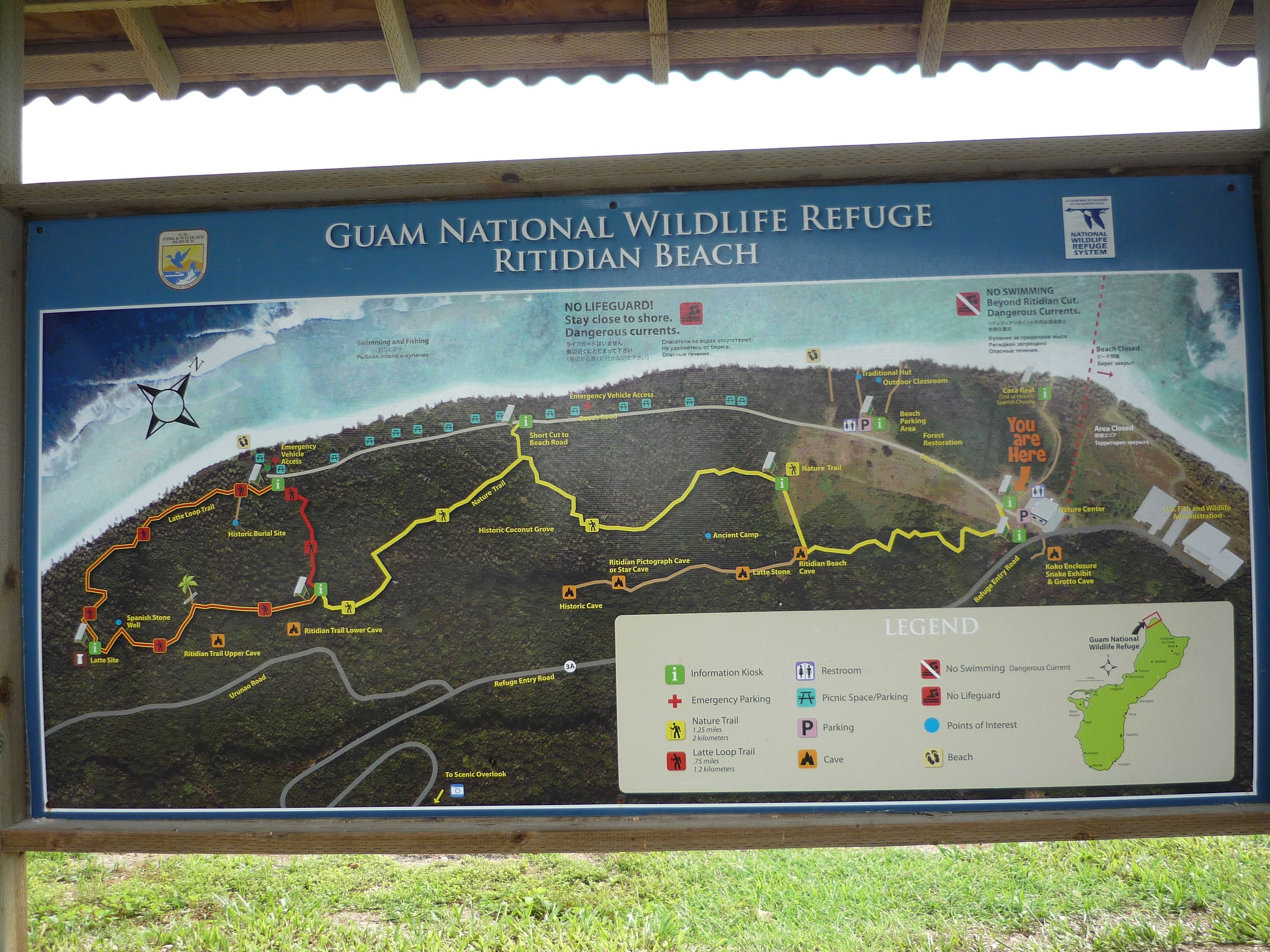
Our first trail originated at the nature center and headed toward the beach. We’re off to find “Casa Real (Site of Old Spanish Church).”
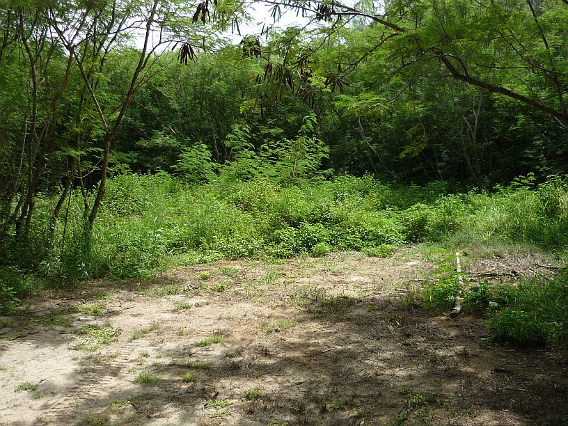
We looked all over for Casa Real, but found no signs or anything else, except maybe this ‘clearing’. Doing research later, we found that although there are photographs of ruins taken in 1952, that the area was bulldozed in the 1960s for a Navy Sound Surveillance System (SOSUS), which was decommissioned in 1992 after the Cold War. This information should be on the provided maps, or at least on a sign. We wonder how many other people have searched and found nothing!
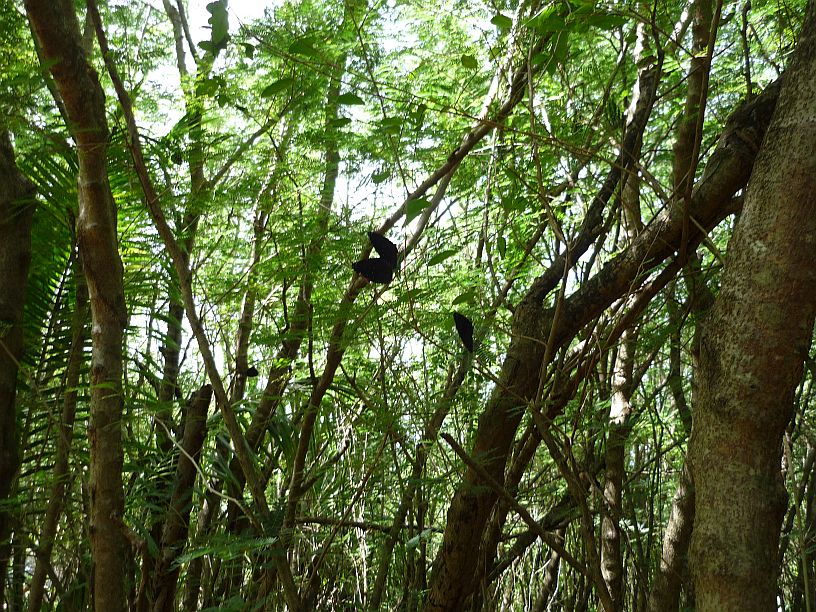
Walking through the ‘jungle’ towards the beach, we did find hundreds, maybe thousands, of butterflies — they were everywhere! It was hard to get a photo of them, but a few can be seen on the branches.

Each butterfly would land, folds its wings and then open them once, or twice, before keeping them folded. It was a challenge to try to catch one with its wings open and get it in focus, especially with the time delayed shutter of our small camera. Here’s the best we could do. These are Blue Banded King Crow Butterflies.
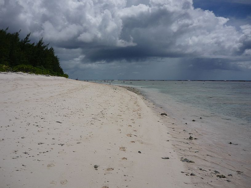
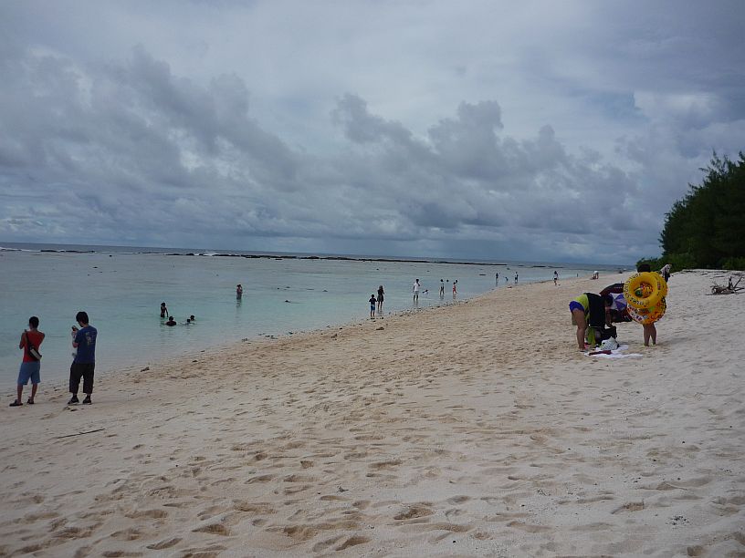
After passing through the ‘butterfly forest’, we reached the beautiful white sands of Ritidian Beach. This is looking to the left (west).
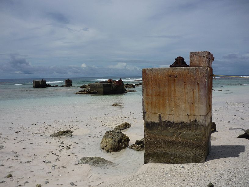
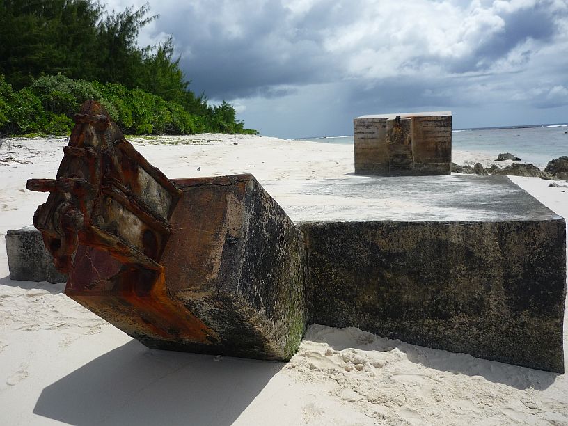
The view to the right (east) intrigued Larry even more. There were lots of huge tower bases and anchors. There are two tower bases and three anchors in this photo. After much searching on the internet, we found a clue that it might be the remains of the Pacific Scatter Communications System — http://vw1assoc.tripod.com/crossroads_nov_62_pg13.html

In the distance, more tower bases and anchors can be seen. They are in a restricted area behind the rope attached to this tower base. This must have been a massive communications installation!

We picked up a pretty shell off the white sand beach only to find it was inhabited — by a hermit crab!

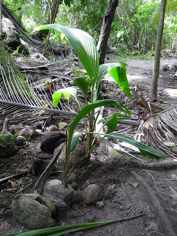
We returned to the nature center and followed a trail away from the beach hoping to find a cave with paintings. Soon we entered what is called a ‘historic coconut grove’.

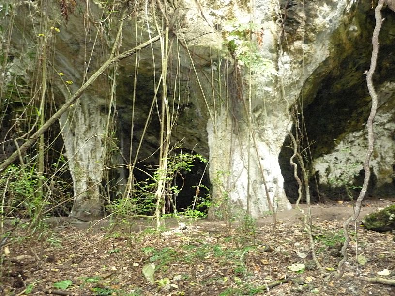
When we got to Ritidian Beach Cave the trail was closed. The cave entrance is just tall enough to walk into without bending down. Apparently the caves and trail are closed for archeological reasons — this should have been noted on the trails map! We did not go inside, but returned to the nature center.
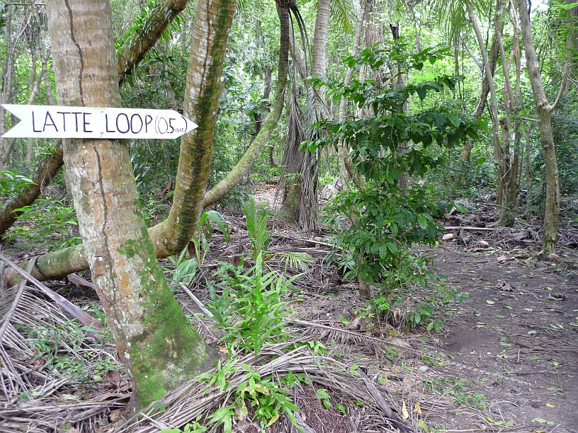
We drove to the end of the beach road and explored the Latte Loop trail. We did not find the Latte Stone that was supposed to be on the loop, Maybe because the trail is rather primitive and not well marked.

We may not have found the Latte Stone, but did see several research traps for brown tree snakes. This trap contained a small chicken. Other traps contained mice. The ‘prey’ was inside a small cage, with its own food and water, inside the trap.

It’s not very obvious in this photo, but the trail had been ‘plowed’ up by wild pigs in several places.
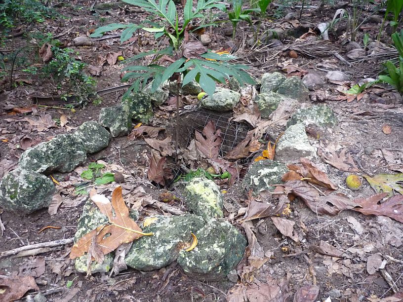
After following several faint trails, we think we found the burial site with only one grave that was marked with stones.
By this time, we needed to head for home. Mike had requested that Larry go to the transmitter site with him at 5pm to help repair one of the Thompson transmitter that was having servo problems. As it turned out, a connector was bad on another servo. The spare servo motor was installed, and Larry repaired the connector on the servo motor that had been removed. Another site that uses these Thompson transmitters has replaced all of these connectors with better ones. That will probably be a good idea here, too — for all 26 servos or 52 connectors!


